Forest Oaks geodata
Forest Oaks (North Carolina) is a populated place; located in United States in America/New_York (GMT-4) time zone. With population of 3,890 people, there are 8342 cities with bigger population in this country. Compared to other cities in United States, 70.5% of cities are located further ↑North; 74.4% of cities are located further ←West and 58.8% of cities have lower elevation than Forest Oaks. Note1
Administrative division(s):
- Level 1: North Carolina
- Level 2: Guilford County
- Level 3: Township of Clay


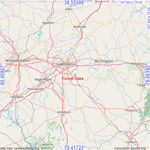
Forest Oaks GPS coordinates[2]
35° 59' 17.484" North, 79° 42' 22.104" West
| Map corner | latitude | longitude |
|---|---|---|
| Upper-left | 36.55506°, | -80.40927° |
| Center: | 35.98819°, | -79.70614° |
| Lower-right: | 35.41722°, | -79.00302° |
| Map W x H: | 126.5×126.5 km | = 78.6×78.6mi |
| max Lat: | 71.29058° ⇑70.5% North |
| Forest Oaks: | 35.98819° |
| min Lat: | ⇓29.5% South 19.06759° |
| min Long | Forest Oaks | max Long |
| -171.73463° | -79.70614° | -66.98998° |
| W 74.4%⇐ | ⇒25.6% E |
Elevation
Elevation of Forest Oaks is 234 m = 768 ft, and this is 60.8 m = 199 ft below average elevation for this country.
| Max E: |
3189 m = 10463 ft | 41.2% |
| Avg. | 294.8 m = 967 ft | |
| Forest Oaks | 234 m = 768 ft | |
Min E: |
-60 m = -197 ft | 58.8% |
See also: United States elevation on elevation.city.
Geographical zone
Forest Oaks is located in North temperate zone (between Tropic of Cancer and the Arctic Circle). Distance of this Northern Tropic circle is 1395.6 km =867.2 mi to South.| Distance of | km | miles | from Forest Oaks |
|---|---|---|---|
| North Pole | 6005.6 | 3731.7 | to North |
| Arctic Circle | 3399.7 | 2112.5 | to North |
| Tropic Cancer | 1395.6 | 867.2 | to South |
| Equator | 4001.5 | 2486.4 | to South |


Nearby cities:
15 places around Forest Oaks: (largest is in red/bold)
• Alamance
20.5 km =12.7 mi,  75°
75°
• Archdale
25.3 km =15.7 mi,  251°
251°
• Burlington
26.9 km =16.7 mi,  63°
63°
• Elon
22 km =13.7 mi,  54°
54°
• Gibsonville
19.7 km =12.2 mi, 48°
• Glen Raven
24.9 km =15.5 mi, 56°
• Greensboro
12.2 km =7.6 mi,  320°
320°
• Jamestown
20.6 km =12.8 mi,  271°
271°
• Liberty
19.3 km =12 mi,  141°
141°
• McLeansville
13.9 km =8.6 mi,  17°
17°
• Pleasant Garden
5.8 km =3.6 mi,  240°
240°
• Pleasant Hill
23.9 km =14.9 mi,  122°
122°
• Randleman
20.8 km =12.9 mi,  204°
204°
• Sedalia
11.7 km =7.3 mi,  41°
41°
• Whitsett
15.7 km =9.8 mi, 54°
Sources, notices
• [Note1] Compared only with cities in United States existing in our database
• [Src1] Map data: © OpenStreetMap contributors (CC-BY-SA)
• [Src2] Other city data from geonames.org with taken over terms of usage.
• [Src3] Geographical zone / Annual Mean Temperature by Robert A. Rohde @ Wikipedia
