McLeansville geodata
McLeansville (North Carolina) is a populated place; located in United States in America/New_York (GMT-4) time zone. With population of 1,021 people, there are 16145 cities with bigger population in this country. Compared to other cities in United States, 69.9% of cities are located further ↑North; 74.6% of cities are located further ←West and 58.2% of cities have lower elevation than McLeansville. Note1
Administrative division(s):
- Level 1: North Carolina
- Level 2: Guilford County
- Level 3: Township of Jefferson


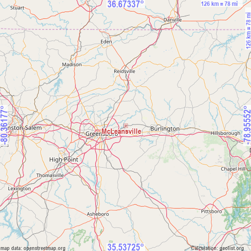
McLeansville GPS coordinates[2]
36° 6' 26.496" North, 79° 39' 31.104" West
| Map corner | latitude | longitude |
|---|---|---|
| Upper-left | 36.67337°, | -80.36177° |
| Center: | 36.10736°, | -79.65864° |
| Lower-right: | 35.53725°, | -78.95552° |
| Map W x H: | 126.3×126.3 km | = 78.5×78.5mi |
| max Lat: | 71.29058° ⇑69.9% North |
| McLeansville: | 36.10736° |
| min Lat: | ⇓30.1% South 19.06759° |
| min Long | McLeansville | max Long |
| -171.73463° | -79.65864° | -66.98998° |
| W 74.6%⇐ | ⇒25.4% E |
Elevation
Elevation of McLeansville is 231 m = 758 ft, and this is 63.8 m = 209 ft below average elevation for this country.
| Max E: |
3189 m = 10463 ft | 41.8% |
| Avg. | 294.8 m = 967 ft | |
| McLeansville | 231 m = 758 ft | |
Min E: |
-60 m = -197 ft | 58.2% |
See also: United States elevation on elevation.city.
Geographical zone
McLeansville is located in North temperate zone (between Tropic of Cancer and the Arctic Circle). Distance of this Northern Tropic circle is 1408.8 km =875.4 mi to South.| Distance of | km | miles | from McLeansville |
|---|---|---|---|
| North Pole | 5992.3 | 3723.4 | to North |
| Arctic Circle | 3386.4 | 2104.2 | to North |
| Tropic Cancer | 1408.8 | 875.4 | to South |
| Equator | 4014.8 | 2494.7 | to South |


Nearby cities:
15 places around McLeansville: (largest is in red/bold)
• Alamance
17.5 km =10.9 mi,  117°
117°
• Burlington
19.9 km =12.4 mi,  93°
93°
• Elon
13.7 km =8.5 mi, 92°
• Forest Oaks
13.9 km =8.6 mi,  197°
197°
• Gibsonville
10.5 km =6.5 mi, 91°
• Glen Raven
16.4 km =10.2 mi, 87°
• Graham
23.6 km =14.7 mi,  100°
100°
• Greensboro
12.6 km =7.8 mi,  252°
252°
• Haw River
26.5 km =16.5 mi, 93°
• Ossipee
15.1 km =9.4 mi,  61°
61°
• Pleasant Garden
18.6 km =11.6 mi,  209°
209°
• Reidsville
27.5 km =17.1 mi,  358°
358°
• Sedalia
5.6 km =3.5 mi,  142°
142°
• Summerfield
24.8 km =15.4 mi,  297°
297°
• Whitsett
9.4 km =5.8 mi, 115°
Sources, notices
• [Note1] Compared only with cities in United States existing in our database
• [Src1] Map data: © OpenStreetMap contributors (CC-BY-SA)
• [Src2] Other city data from geonames.org with taken over terms of usage.
• [Src3] Geographical zone / Annual Mean Temperature by Robert A. Rohde @ Wikipedia
