Camden geodata
Camden (South Carolina) is a seat of a second-order administrative division; located in United States in America/New_York (GMT-4) time zone. With population of 7,085 people, there are 5766 cities with bigger population in this country. Compared to other cities in United States, 78.7% of cities are located further ↑North; 70.5% of cities are located further ←West and 77.3% of cities have higher elevation than Camden. Note1


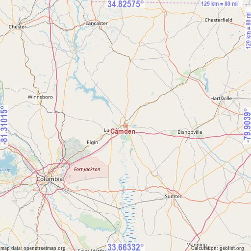
Camden GPS coordinates[2]
34° 14' 47.544" North, 80° 36' 25.272" West
| Map corner | latitude | longitude |
|---|---|---|
| Upper-left | 34.82575°, | -81.31015° |
| Center: | 34.24654°, | -80.60702° |
| Lower-right: | 33.66332°, | -79.9039° |
| Map W x H: | 129.3×129.3 km | = 80.3×80.3mi |
| max Lat: | 71.29058° ⇑78.7% North |
| Camden: | 34.24654° |
| min Lat: | ⇓21.3% South 19.06759° |
| min Long | Camden | max Long |
| -171.73463° | -80.60702° | -66.98998° |
| W 70.5%⇐ | ⇒29.5% E |
Elevation
Elevation of Camden is 59 m = 194 ft, and this is 235.8 m = 774 ft below average elevation for this country.
| Max E: |
3189 m = 10463 ft | 77.3% |
| Avg. | 294.8 m = 967 ft | |
| Camden | 59 m = 194 ft | |
Min E: |
-60 m = -197 ft | 22.7% |
See also: United States elevation on elevation.city.
Geographical zone
Camden is located in North temperate zone (between Tropic of Cancer and the Arctic Circle). Distance of this Northern Tropic circle is 1201.9 km =746.8 mi to South.| Distance of | km | miles | from Camden |
|---|---|---|---|
| North Pole | 6199.2 | 3852 | to North |
| Arctic Circle | 3593.3 | 2232.8 | to North |
| Tropic Cancer | 1201.9 | 746.8 | to South |
| Equator | 3807.9 | 2366.1 | to South |


Nearby cities:
15 places around Camden: (largest is in red/bold)
• Arcadia Lakes
39 km =24.2 mi,  236°
236°
• Bishopville
33.1 km =20.6 mi,  95°
95°
• Blythewood
33.9 km =21.1 mi,  263°
263°
• Cherryvale
35.1 km =21.8 mi,  157°
157°
• Dalzell
30.3 km =18.8 mi,  147°
147°
• Dentsville
38.2 km =23.7 mi, 237°
• Elgin
19.2 km =11.9 mi, 243°
• Heath Springs
39.1 km =24.3 mi,  350°
350°
• Kershaw
34 km =21.1 mi,  3°
3°
• Lugoff
7.9 km =4.9 mi,  254°
254°
• McBee
40.6 km =25.2 mi,  52°
52°
• Oakland
31.3 km =19.4 mi, 159°
• Stateburg
32.8 km =20.4 mi,  168°
168°
• Wedgefield
40.2 km =25 mi, 168°
• Woodfield
36.4 km =22.6 mi, 235°
Sources, notices
• [Note1] Compared only with cities in United States existing in our database
• [Src1] Map data: © OpenStreetMap contributors (CC-BY-SA)
• [Src2] Other city data from geonames.org with taken over terms of usage.
• [Src3] Geographical zone / Annual Mean Temperature by Robert A. Rohde @ Wikipedia
