Columbus geodata
Columbus (Texas) is a seat of a second-order administrative division; located in United States in America/Chicago (GMT-5) time zone. With population of 3,629 people, there are 8684 cities with bigger population in this country. Compared to other cities in United States, 94.1% of cities are located further ↑North; 74.6% of cities are located further →East and 75.6% of cities have higher elevation than Columbus. Note1


Columbus GPS coordinates[2]
29° 42' 23.832" North, 96° 32' 22.884" West
| Map corner | latitude | longitude |
|---|---|---|
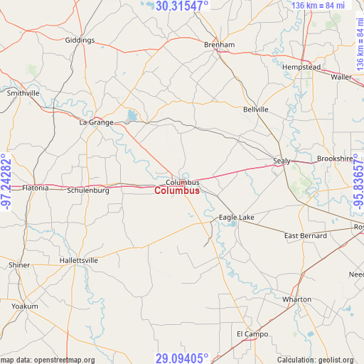
| Upper-left | 30.31547°, | -97.24282° |
| Center: | 29.70662°, | -96.53969° |
| Lower-right: | 29.09405°, | -95.83657° |
| Map W x H: | 135.8×135.8 km | = 84.4×84.4mi |
| max Lat: | 71.29058° ⇑94.1% North |
| Columbus: | 29.70662° |
| min Lat: | ⇓5.9% South 19.06759° |
| min Long | Columbus | max Long |
| -171.73463° | -96.53969° | -66.98998° |
| W 25.4%⇐ | ⇒74.6% E |
Elevation
Elevation of Columbus is 68 m = 223 ft, and this is 226.8 m = 744 ft below average elevation for this country.
| Max E: |
3189 m = 10463 ft | 75.6% |
| Avg. | 294.8 m = 967 ft | |
| Columbus | 68 m = 223 ft | |
Min E: |
-60 m = -197 ft | 24.4% |
See also: United States elevation on elevation.city.
Geographical zone
Columbus is located in North temperate zone (between Tropic of Cancer and the Arctic Circle). Distance of this Northern Tropic circle is 697.1 km =433.2 mi to South.| Distance of | km | miles | from Columbus |
|---|---|---|---|
| North Pole | 6704 | 4165.7 | to North |
| Arctic Circle | 4098.1 | 2546.4 | to North |
| Tropic Cancer | 697.1 | 433.2 | to South |
| Equator | 3303.1 | 2052.5 | to South |


Nearby cities:
15 places around Columbus: (largest is in red/bold)
• Bellville
38.4 km =23.9 mi,  45°
45°
• Brenham
53 km =32.9 mi,  14°
14°
• Eagle Lake
23.8 km =14.8 mi,  123°
123°
• East Bernard
49.3 km =30.6 mi,  113°
113°
• Glidden
4.6 km =2.9 mi,  261°
261°
• Hackberry
35.8 km =22.2 mi,  246°
246°
• Hallettsville
48.6 km =30.2 mi,  233°
233°
• La Grange
39.3 km =24.4 mi,  304°
304°
• Pattison
54.2 km =33.7 mi,  75°
75°
• San Felipe
43.4 km =27 mi, 77°
• Schulenburg
35.2 km =21.9 mi,  265°
265°
• Sealy
37.8 km =23.5 mi, 77°
• Simonton
54.4 km =33.8 mi,  93°
93°
• Wallis
46.6 km =29 mi,  100°
100°
• Weimar
23.3 km =14.5 mi, 269°
Sources, notices
• [Note1] Compared only with cities in United States existing in our database
• [Src1] Map data: © OpenStreetMap contributors (CC-BY-SA)
• [Src2] Other city data from geonames.org with taken over terms of usage.
• [Src3] Geographical zone / Annual Mean Temperature by Robert A. Rohde @ Wikipedia
