Krum geodata
Krum (Texas) is a populated place; located in United States in America/Chicago (GMT-5) time zone. With population of 4,990 people, there are 7187 cities with bigger population in this country. Compared to other cities in United States, 84.1% of cities are located further ↑North; 76.4% of cities are located further →East and 57.7% of cities have lower elevation than Krum. Note1


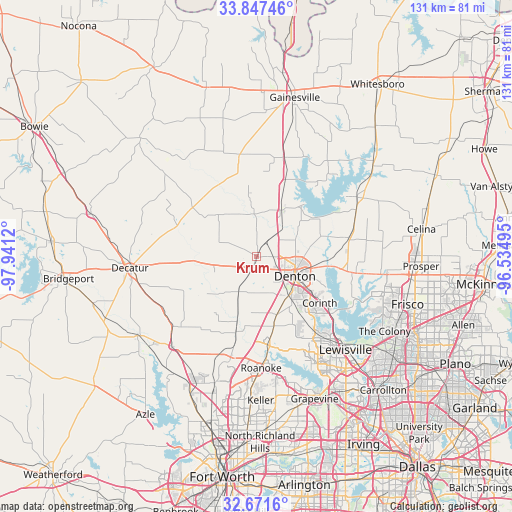
Krum GPS coordinates[2]
33° 15' 41.436" North, 97° 14' 17.052" West
| Map corner | latitude | longitude |
|---|---|---|
| Upper-left | 33.84746°, | -97.9412° |
| Center: | 33.26151°, | -97.23807° |
| Lower-right: | 32.6716°, | -96.53495° |
| Map W x H: | 130.7×130.7 km | = 81.2×81.2mi |
| max Lat: | 71.29058° ⇑84.1% North |
| Krum: | 33.26151° |
| min Lat: | ⇓15.9% South 19.06759° |
| min Long | Krum | max Long |
| -171.73463° | -97.23807° | -66.98998° |
| W 23.6%⇐ | ⇒76.4% E |
Elevation
Elevation of Krum is 229 m = 751 ft, and this is 65.8 m = 216 ft below average elevation for this country.
| Max E: |
3189 m = 10463 ft | 42.3% |
| Avg. | 294.8 m = 967 ft | |
| Krum | 229 m = 751 ft | |
Min E: |
-60 m = -197 ft | 57.7% |
See also: United States elevation on elevation.city.
Geographical zone
Krum is located in North temperate zone (between Tropic of Cancer and the Arctic Circle). Distance of this Northern Tropic circle is 1092.4 km =678.8 mi to South.| Distance of | km | miles | from Krum |
|---|---|---|---|
| North Pole | 6308.7 | 3920 | to North |
| Arctic Circle | 3702.8 | 2300.8 | to North |
| Tropic Cancer | 1092.4 | 678.8 | to South |
| Equator | 3698.3 | 2298 | to South |


Nearby cities:
15 places around Krum: (largest is in red/bold)
• Argyle
16.4 km =10.2 mi,  161°
161°
• Bartonville
23.2 km =14.4 mi,  154°
154°
• Copper Canyon
22.6 km =14 mi,  144°
144°
• Corinth
20.1 km =12.5 mi,  126°
126°
• Cross Roads
22.2 km =13.8 mi,  98°
98°
• Denton
11.1 km =6.9 mi,  117°
117°
• Hickory Creek
23.8 km =14.8 mi, 130°
• Justin
20.4 km =12.7 mi,  195°
195°
• Krugerville
23.1 km =14.4 mi,  84°
84°
• Lantana
21.7 km =13.5 mi, 150°
• New Hope (historical)
23.4 km =14.5 mi, 97°
• Northlake
15.1 km =9.4 mi,  189°
189°
• Ponder
9.9 km =6.2 mi,  207°
207°
• Sanger
12.8 km =8 mi,  27°
27°
• Shady Shores
22.2 km =13.8 mi, 118°
Sources, notices
• [Note1] Compared only with cities in United States existing in our database
• [Src1] Map data: © OpenStreetMap contributors (CC-BY-SA)
• [Src2] Other city data from geonames.org with taken over terms of usage.
• [Src3] Geographical zone / Annual Mean Temperature by Robert A. Rohde @ Wikipedia
