Ponder geodata
Ponder (Texas) is a populated place; located in United States in America/Chicago (GMT-5) time zone. With population of 1,530 people, there are 13544 cities with bigger population in this country. Compared to other cities in United States, 84.4% of cities are located further ↑North; 76.5% of cities are located further →East and 57.2% of cities have lower elevation than Ponder. Note1


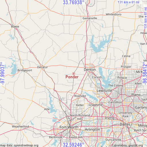
Ponder GPS coordinates[2]
33° 10' 58.44" North, 97° 17' 14.064" West
| Map corner | latitude | longitude |
|---|---|---|
| Upper-left | 33.76938°, | -97.99037° |
| Center: | 33.1829°, | -97.28724° |
| Lower-right: | 32.59246°, | -96.58412° |
| Map W x H: | 130.9×130.9 km | = 81.3×81.3mi |
| max Lat: | 71.29058° ⇑84.4% North |
| Ponder: | 33.1829° |
| min Lat: | ⇓15.6% South 19.06759° |
| min Long | Ponder | max Long |
| -171.73463° | -97.28724° | -66.98998° |
| W 23.5%⇐ | ⇒76.5% E |
Elevation
Elevation of Ponder is 227 m = 745 ft, and this is 67.8 m = 222 ft below average elevation for this country.
| Max E: |
3189 m = 10463 ft | 42.8% |
| Avg. | 294.8 m = 967 ft | |
| Ponder | 227 m = 745 ft | |
Min E: |
-60 m = -197 ft | 57.2% |
See also: United States elevation on elevation.city.
Geographical zone
Ponder is located in North temperate zone (between Tropic of Cancer and the Arctic Circle). Distance of this Northern Tropic circle is 1083.7 km =673.4 mi to South.| Distance of | km | miles | from Ponder |
|---|---|---|---|
| North Pole | 6317.5 | 3925.5 | to North |
| Arctic Circle | 3711.6 | 2306.3 | to North |
| Tropic Cancer | 1083.7 | 673.4 | to South |
| Equator | 3689.6 | 2292.6 | to South |


Nearby cities:
15 places around Ponder: (largest is in red/bold)
• Argyle
11.9 km =7.4 mi,  125°
125°
• Bartonville
18.9 km =11.7 mi, 130°
• Copper Canyon
20.2 km =12.6 mi,  118°
118°
• Corinth
21 km =13 mi,  98°
98°
• Denton
14.8 km =9.2 mi,  76°
76°
• Double Oak
21 km =13 mi, 128°
• Justin
10.9 km =6.8 mi,  184°
184°
• Krum
9.9 km =6.2 mi,  27°
27°
• Lantana
18.3 km =11.4 mi, 124°
• Marshall Creek
19.9 km =12.4 mi,  158°
158°
• New Fairview
17.5 km =10.9 mi,  237°
237°
• Northlake
6.5 km =4 mi, 161°
• Rhome
22.4 km =13.9 mi,  230°
230°
• Roanoke
20.7 km =12.9 mi, 163°
• Sanger
22.6 km =14 mi, 27°
Sources, notices
• [Note1] Compared only with cities in United States existing in our database
• [Src1] Map data: © OpenStreetMap contributors (CC-BY-SA)
• [Src2] Other city data from geonames.org with taken over terms of usage.
• [Src3] Geographical zone / Annual Mean Temperature by Robert A. Rohde @ Wikipedia
