Arlington geodata
Arlington (Virginia) is a seat of a second-order administrative division; located in United States in America/New_York (GMT-4) time zone. With population of 207,627 people, there are 119 cities with bigger population in this country. Compared to other cities in United States, 56% of cities are located further ↑North; 80.1% of cities are located further ←West and 73% of cities have higher elevation than Arlington. Note1


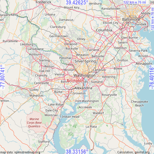
Arlington GPS coordinates[2]
38° 52' 51.636" North, 77° 6' 15.408" West
| Map corner | latitude | longitude |
|---|---|---|
| Upper-left | 39.42625°, | -77.80741° |
| Center: | 38.88101°, | -77.10428° |
| Lower-right: | 38.33156°, | -76.40116° |
| Map W x H: | 121.7×121.7 km | = 75.6×75.6mi |
| max Lat: | 71.29058° ⇑56% North |
| Arlington: | 38.88101° |
| min Lat: | ⇓44% South 19.06759° |
| min Long | Arlington | max Long |
| -171.73463° | -77.10428° | -66.98998° |
| W 80.1%⇐ | ⇒19.9% E |
Elevation
Elevation of Arlington is 83 m = 272 ft, and this is 211.8 m = 695 ft below average elevation for this country.
| Max E: |
3189 m = 10463 ft | 73% |
| Avg. | 294.8 m = 967 ft | |
| Arlington | 83 m = 272 ft | |
Min E: |
-60 m = -197 ft | 27% |
See also: Arlington elevation on elevation.city.
Geographical zone
Arlington is located in North temperate zone (between Tropic of Cancer and the Arctic Circle). Distance of this Northern Tropic circle is 1717.2 km =1067 mi to South.| Distance of | km | miles | from Arlington |
|---|---|---|---|
| North Pole | 5683.9 | 3531.8 | to North |
| Arctic Circle | 3078 | 1912.6 | to North |
| Tropic Cancer | 1717.2 | 1067 | to South |
| Equator | 4323.2 | 2686.3 | to South |


Nearby cities:
15 places around Arlington: (largest is in red/bold)
• Adams Morgan
7 km =4.3 mi,  50°
50°
• Baileys Crossroads
4.1 km =2.5 mi,  212°
212°
• Bloomingdale
9 km =5.6 mi,  63°
63°
• Brookmont
6.9 km =4.3 mi,  348°
348°
• Falls Church
5.8 km =3.6 mi,  271°
271°
• Jefferson
7.5 km =4.7 mi,  255°
255°
• Lake Barcroft
5.8 km =3.6 mi,  230°
230°
• Lincolnia
7.7 km =4.8 mi, 205°
• McLean
8.7 km =5.4 mi,  313°
313°
• Pimmit Hills
9.1 km =5.7 mi,  292°
292°
• Rosslyn
3.3 km =2.1 mi, 57°
• Seven Corners
4.5 km =2.8 mi, 257°
• Shaw
8 km =5 mi, 64°
• Washington, D.C.
6.1 km =3.8 mi,  75°
75°
• West Falls Church
7 km =4.3 mi,  279°
279°
Sources, notices
• [Note1] Compared only with cities in United States existing in our database
• [Src1] Map data: © OpenStreetMap contributors (CC-BY-SA)
• [Src2] Other city data from geonames.org with taken over terms of usage.
• [Src3] Geographical zone / Annual Mean Temperature by Robert A. Rohde @ Wikipedia
