Brambleton geodata
Brambleton (Virginia) is a populated place; located in United States in America/New_York (GMT-4) time zone. With population of 9,845 people, there are 4512 cities with bigger population in this country. Compared to other cities in United States, 55% of cities are located further ↑North; 78.8% of cities are located further ←West and 68.3% of cities have higher elevation than Brambleton. Note1


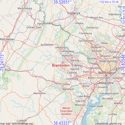
Brambleton GPS coordinates[2]
38° 58' 55.38" North, 77° 32' 18.96" West
| Map corner | latitude | longitude |
|---|---|---|
| Upper-left | 39.52651°, | -78.24173° |
| Center: | 38.98205°, | -77.5386° |
| Lower-right: | 38.43337°, | -76.83548° |
| Map W x H: | 121.5×121.5 km | = 75.5×75.5mi |
| max Lat: | 71.29058° ⇑55% North |
| Brambleton: | 38.98205° |
| min Lat: | ⇓45% South 19.06759° |
| min Long | Brambleton | max Long |
| -171.73463° | -77.5386° | -66.98998° |
| W 78.8%⇐ | ⇒21.2% E |
Elevation
Elevation of Brambleton is 111 m = 364 ft, and this is 183.8 m = 603 ft below average elevation for this country.
| Max E: |
3189 m = 10463 ft | 68.3% |
| Avg. | 294.8 m = 967 ft | |
| Brambleton | 111 m = 364 ft | |
Min E: |
-60 m = -197 ft | 31.7% |
See also: United States elevation on elevation.city.
Geographical zone
Brambleton is located in North temperate zone (between Tropic of Cancer and the Arctic Circle). Distance of this Northern Tropic circle is 1728.5 km =1074 mi to South.| Distance of | km | miles | from Brambleton |
|---|---|---|---|
| North Pole | 5672.7 | 3524.9 | to North |
| Arctic Circle | 3066.8 | 1905.6 | to North |
| Tropic Cancer | 1728.5 | 1074 | to South |
| Equator | 4334.4 | 2693.3 | to South |


Nearby cities:
15 places around Brambleton: (largest is in red/bold)
• Ashburn
8.2 km =5.1 mi,  32°
32°
• Belmont
9.5 km =5.9 mi,  15°
15°
• Broadlands
4.3 km =2.7 mi, 21°
• Bull Run Mountain Estates
13.8 km =8.6 mi,  230°
230°
• Chantilly
13.5 km =8.4 mi,  136°
136°
• Countryside
12.6 km =7.8 mi,  58°
58°
• Dulles Town Center
12.3 km =7.6 mi, 59°
• Floris
12 km =7.5 mi,  114°
114°
• Herndon
13.3 km =8.3 mi,  96°
96°
• Loudoun Valley Estates
2.7 km =1.7 mi,  92°
92°
• Oak Grove
11.6 km =7.2 mi, 88°
• Oak Hill
13.4 km =8.3 mi,  117°
117°
• South Riding
7.4 km =4.6 mi,  156°
156°
• Sterling
9.9 km =6.2 mi,  74°
74°
• University Center
11.7 km =7.3 mi,  44°
44°
Sources, notices
• [Note1] Compared only with cities in United States existing in our database
• [Src1] Map data: © OpenStreetMap contributors (CC-BY-SA)
• [Src2] Other city data from geonames.org with taken over terms of usage.
• [Src3] Geographical zone / Annual Mean Temperature by Robert A. Rohde @ Wikipedia
