Atlantic geodata
Atlantic (Iowa) is a seat of a second-order administrative division; located in United States in America/Chicago (GMT-5) time zone. With population of 6,833 people, there are 5904 cities with bigger population in this country. Compared to other cities in United States, 69.8% of cities are located further ↓South; 71.1% of cities are located further →East and 81.6% of cities have lower elevation than Atlantic. Note1


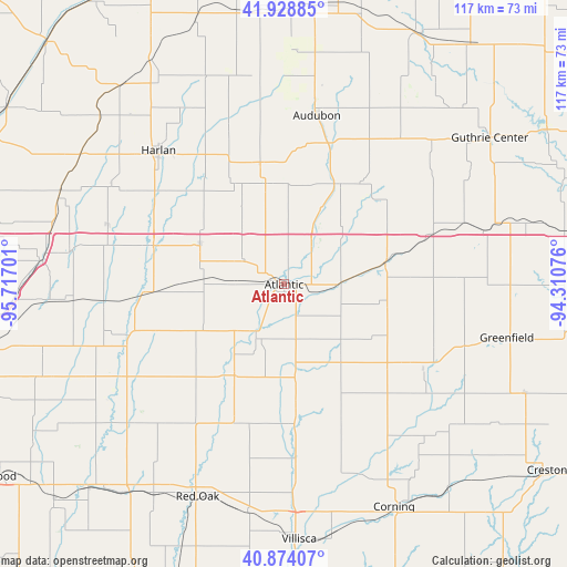
Atlantic GPS coordinates[2]
41° 24' 12.96" North, 95° 0' 49.968" West
| Map corner | latitude | longitude |
|---|---|---|
| Upper-left | 41.92885°, | -95.71701° |
| Center: | 41.4036°, | -95.01388° |
| Lower-right: | 40.87407°, | -94.31076° |
| Map W x H: | 117.3×117.3 km | = 72.9×72.9mi |
| max Lat: | 71.29058° ⇑30.2% North |
| Atlantic: | 41.4036° |
| min Lat: | ⇓69.8% South 19.06759° |
| min Long | Atlantic | max Long |
| -171.73463° | -95.01388° | -66.98998° |
| W 28.9%⇐ | ⇒71.1% E |
Elevation
Elevation of Atlantic is 372 m = 1220 ft, and this is 77.2 m = 253 ft above average elevation for this country.
| Max E: |
3189 m = 10463 ft | 18.4% |
| Atlantic | 372 m 1220 ft | |
| Avg. | 294.8 m = 967 ft | |
Min E: |
-60 m = -197 ft | 81.6% |
See also: United States elevation on elevation.city.
Geographical zone
Atlantic is located in North temperate zone (between Tropic of Cancer and the Arctic Circle). Distance of this Northern Tropic circle is 1997.7 km =1241.3 mi to South.| Distance of | km | miles | from Atlantic |
|---|---|---|---|
| North Pole | 5403.4 | 3357.5 | to North |
| Arctic Circle | 2797.5 | 1738.3 | to North |
| Tropic Cancer | 1997.7 | 1241.3 | to South |
| Equator | 4603.6 | 2860.5 | to South |


Nearby cities:
15 places around Atlantic: (largest is in red/bold)
• Adair
32.7 km =20.3 mi,  70°
70°
• Anita
21.3 km =13.2 mi,  77°
77°
• Audubon
35.6 km =22.1 mi,  10°
10°
• Avoca
28.2 km =17.5 mi,  286°
286°
• Carson
38.5 km =23.9 mi,  241°
241°
• Elk Horn
21.3 km =13.2 mi,  349°
349°
• Exira
23.8 km =14.8 mi,  28°
28°
• Fontanelle
39.8 km =24.7 mi,  108°
108°
• Griswold
21.4 km =13.3 mi,  208°
208°
• Harlan
38 km =23.6 mi,  316°
316°
• Minden
44.6 km =27.7 mi,  279°
279°
• Oakland
33.6 km =20.9 mi,  251°
251°
• Red Oak
47.2 km =29.3 mi,  202°
202°
• Shelby
38.5 km =23.9 mi, 288°
• Walnut
19.2 km =11.9 mi,  295°
295°
Sources, notices
• [Note1] Compared only with cities in United States existing in our database
• [Src1] Map data: © OpenStreetMap contributors (CC-BY-SA)
• [Src2] Other city data from geonames.org with taken over terms of usage.
• [Src3] Geographical zone / Annual Mean Temperature by Robert A. Rohde @ Wikipedia
