Forreston geodata
Forreston (Illinois) is a populated place; located in United States in America/Chicago (GMT-5) time zone. With population of 1,377 people, there are 14223 cities with bigger population in this country. Compared to other cities in United States, 76.8% of cities are located further ↓South; 57.8% of cities are located further →East and 70.4% of cities have lower elevation than Forreston. Note1


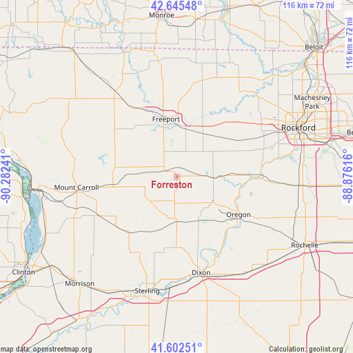
Forreston GPS coordinates[2]
42° 7' 34.104" North, 89° 34' 45.408" West
| Map corner | latitude | longitude |
|---|---|---|
| Upper-left | 42.64548°, | -90.28241° |
| Center: | 42.12614°, | -89.57928° |
| Lower-right: | 41.60251°, | -88.87616° |
| Map W x H: | 116×116 km | = 72.1×72.1mi |
| max Lat: | 71.29058° ⇑23.2% North |
| Forreston: | 42.12614° |
| min Lat: | ⇓76.8% South 19.06759° |
| min Long | Forreston | max Long |
| -171.73463° | -89.57928° | -66.98998° |
| W 42.2%⇐ | ⇒57.8% E |
Elevation
Elevation of Forreston is 288 m = 945 ft, and this is 6.8 m = 22 ft below average elevation for this country.
| Max E: |
3189 m = 10463 ft | 29.6% |
| Avg. | 294.8 m = 967 ft | |
| Forreston | 288 m = 945 ft | |
Min E: |
-60 m = -197 ft | 70.4% |
See also: United States elevation on elevation.city.
Geographical zone
Forreston is located in North temperate zone (between Tropic of Cancer and the Arctic Circle). Distance of this Northern Tropic circle is 2078.1 km =1291.3 mi to South.| Distance of | km | miles | from Forreston |
|---|---|---|---|
| North Pole | 5323.1 | 3307.6 | to North |
| Arctic Circle | 2717.2 | 1688.4 | to North |
| Tropic Cancer | 2078.1 | 1291.3 | to South |
| Equator | 4684 | 2910.5 | to South |


Nearby cities:
15 places around Forreston: (largest is in red/bold)
• Byron
26.7 km =16.6 mi,  89°
89°
• Cedarville
28.1 km =17.5 mi,  350°
350°
• Chadwick
28.6 km =17.8 mi,  243°
243°
• Freeport
19.3 km =12 mi, 349°
• Georgetown
20.6 km =12.8 mi,  274°
274°
• Lanark
21.1 km =13.1 mi,  262°
262°
• Lost Nation
29.7 km =18.5 mi,  143°
143°
• Milledgeville
24.2 km =15 mi,  221°
221°
• Mount Morris
14.8 km =9.2 mi,  124°
124°
• Oregon
23.9 km =14.9 mi, 121°
• Palmyra
30.5 km =19 mi,  179°
179°
• Pearl City
25.5 km =15.8 mi,  307°
307°
• Pecatonica
27.6 km =17.1 mi,  40°
40°
• Polo
15.6 km =9.7 mi, 180°
• Shannon
13.6 km =8.5 mi,  283°
283°
Sources, notices
• [Note1] Compared only with cities in United States existing in our database
• [Src1] Map data: © OpenStreetMap contributors (CC-BY-SA)
• [Src2] Other city data from geonames.org with taken over terms of usage.
• [Src3] Geographical zone / Annual Mean Temperature by Robert A. Rohde @ Wikipedia
