Georgetown geodata
Georgetown (Illinois) is a populated place; located in United States in America/Chicago (GMT-5) time zone. With population of 3,493 people, there are 8859 cities with bigger population in this country. Compared to other cities in United States, 76.9% of cities are located further ↓South; 58.5% of cities are located further →East and 68% of cities have lower elevation than Georgetown. Note1
Administrative division(s):
- Level 1: Illinois
- Level 2: Carroll County
- Level 3: Township of Cherry Grove-Shannon


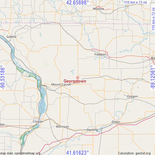
Georgetown GPS coordinates[2]
42° 8' 23.1" North, 89° 49' 43.428" West
| Map corner | latitude | longitude |
|---|---|---|
| Upper-left | 42.65898°, | -90.53186° |
| Center: | 42.13975°, | -89.82873° |
| Lower-right: | 41.61623°, | -89.12561° |
| Map W x H: | 115.9×115.9 km | = 72×72mi |
| max Lat: | 71.29058° ⇑23.1% North |
| Georgetown: | 42.13975° |
| min Lat: | ⇓76.9% South 19.06759° |
| min Long | Georgetown | max Long |
| -171.73463° | -89.82873° | -66.98998° |
| W 41.5%⇐ | ⇒58.5% E |
Elevation
Elevation of Georgetown is 276 m = 906 ft, and this is 18.8 m = 62 ft below average elevation for this country.
| Max E: |
3189 m = 10463 ft | 32% |
| Avg. | 294.8 m = 967 ft | |
| Georgetown | 276 m = 906 ft | |
Min E: |
-60 m = -197 ft | 68% |
See also: United States elevation on elevation.city.
Geographical zone
Georgetown is located in North temperate zone (between Tropic of Cancer and the Arctic Circle). Distance of this Northern Tropic circle is 2079.6 km =1292.2 mi to South.| Distance of | km | miles | from Georgetown |
|---|---|---|---|
| North Pole | 5321.6 | 3306.7 | to North |
| Arctic Circle | 2715.7 | 1687.5 | to North |
| Tropic Cancer | 2079.6 | 1292.2 | to South |
| Equator | 4685.5 | 2911.4 | to South |


Nearby cities:
15 places around Georgetown: (largest is in red/bold)
• Cedarville
30.8 km =19.1 mi,  31°
31°
• Chadwick
15 km =9.3 mi,  199°
199°
• Forreston
20.6 km =12.8 mi,  94°
94°
• Freeport
24.4 km =15.2 mi,  44°
44°
• Lanark
4.2 km =2.6 mi,  185°
185°
• Lena
26.7 km =16.6 mi,  1°
1°
• Milledgeville
20.1 km =12.5 mi,  167°
167°
• Mount Carroll
13.3 km =8.3 mi,  248°
248°
• Pearl City
14 km =8.7 mi, 0°
• Polo
26.8 km =16.7 mi,  129°
129°
• Sabula
29.5 km =18.3 mi,  255°
255°
• Savanna
27.5 km =17.1 mi, 259°
• Shannon
7.5 km =4.7 mi,  77°
77°
• Stockton
27.6 km =17.1 mi,  327°
327°
• Thomson
30.1 km =18.7 mi,  228°
228°
Sources, notices
• [Note1] Compared only with cities in United States existing in our database
• [Src1] Map data: © OpenStreetMap contributors (CC-BY-SA)
• [Src2] Other city data from geonames.org with taken over terms of usage.
• [Src3] Geographical zone / Annual Mean Temperature by Robert A. Rohde @ Wikipedia
