Rockford geodata
Rockford (Illinois) is a seat of a second-order administrative division; located in United States in America/Chicago (GMT-5) time zone. With population of 148,278 people, there are 199 cities with bigger population in this country. Compared to other cities in United States, 78% of cities are located further ↓South; 56.4% of cities are located further →East and 56.4% of cities have lower elevation than Rockford. Note1
Administrative division(s):
- Level 1: Illinois
- Level 2: Winnebago County
- Level 3: Township of Rockford


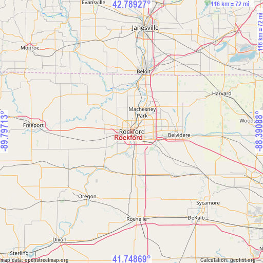
Rockford GPS coordinates[2]
42° 16' 16.068" North, 89° 5' 38.4" West
| Map corner | latitude | longitude |
|---|---|---|
| Upper-left | 42.78927°, | -89.79713° |
| Center: | 42.27113°, | -89.094° |
| Lower-right: | 41.74869°, | -88.39088° |
| Map W x H: | 115.7×115.7 km | = 71.9×71.9mi |
| max Lat: | 71.29058° ⇑22% North |
| Rockford: | 42.27113° |
| min Lat: | ⇓78% South 19.06759° |
| min Long | Rockford | max Long |
| -171.73463° | -89.094° | -66.98998° |
| W 43.6%⇐ | ⇒56.4% E |
Elevation
Elevation of Rockford is 224 m = 735 ft, and this is 70.8 m = 232 ft below average elevation for this country.
| Max E: |
3189 m = 10463 ft | 43.6% |
| Avg. | 294.8 m = 967 ft | |
| Rockford | 224 m = 735 ft | |
Min E: |
-60 m = -197 ft | 56.4% |
See also: Rockford elevation on elevation.city.
Geographical zone
Rockford is located in North temperate zone (between Tropic of Cancer and the Arctic Circle). Distance of this Northern Tropic circle is 2094.2 km =1301.3 mi to South.| Distance of | km | miles | from Rockford |
|---|---|---|---|
| North Pole | 5307 | 3297.6 | to North |
| Arctic Circle | 2701.1 | 1678.4 | to North |
| Tropic Cancer | 2094.2 | 1301.3 | to South |
| Equator | 4700.1 | 2920.5 | to South |


Nearby cities:
15 places around Rockford: (largest is in red/bold)
• Belvidere
20.6 km =12.8 mi,  92°
92°
• Byron
20.8 km =12.9 mi,  219°
219°
• Cherry Valley
12.6 km =7.8 mi,  108°
108°
• Davis Junction
18.8 km =11.7 mi,  179°
179°
• Edgewood
14.6 km =9.1 mi,  103°
103°
• Loves Park
6.2 km =3.9 mi,  28°
28°
• Machesney Park
9.6 km =6 mi, 28°
• New Milford
9.6 km =6 mi,  167°
167°
• Pecatonica
22.3 km =13.9 mi,  282°
282°
• Poplar Grove
24.8 km =15.4 mi,  64°
64°
• Rockton
20.2 km =12.6 mi,  5°
5°
• Roscoe
17.3 km =10.7 mi,  23°
23°
• Stillman Valley
19.5 km =12.1 mi,  201°
201°
• Timberlane
20.4 km =12.7 mi,  69°
69°
• Winnebago
12.1 km =7.5 mi,  267°
267°
Sources, notices
• [Note1] Compared only with cities in United States existing in our database
• [Src1] Map data: © OpenStreetMap contributors (CC-BY-SA)
• [Src2] Other city data from geonames.org with taken over terms of usage.
• [Src3] Geographical zone / Annual Mean Temperature by Robert A. Rohde @ Wikipedia
