Windsor geodata
Windsor (Massachusetts) is a populated place; located in United States in America/New_York (GMT-4) time zone. With population of 890 people, there are 17039 cities with bigger population in this country. Compared to other cities in United States, 79.9% of cities are located further ↓South; 93.8% of cities are located further ←West and 90% of cities have lower elevation than Windsor. Note1
Administrative division(s):
- Level 1: Massachusetts
- Level 2: Berkshire County
- Level 3: Town of Windsor


Windsor GPS coordinates[2]
42° 30' 42.3" North, 73° 3' 28.368" West
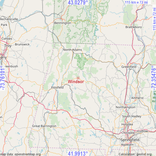
| Map corner | latitude | longitude |
|---|---|---|
| Upper-left | 43.0279°, | -73.76101° |
| Center: | 42.51175°, | -73.05788° |
| Lower-right: | 41.9913°, | -72.35476° |
| Map W x H: | 115.3×115.3 km | = 71.6×71.6mi |
| max Lat: | 71.29058° ⇑20.1% North |
| Windsor: | 42.51175° |
| min Lat: | ⇓79.9% South 19.06759° |
| min Long | Windsor | max Long |
| -171.73463° | -73.05788° | -66.98998° |
| W 93.8%⇐ | ⇒6.2% E |
Elevation
Elevation of Windsor is 622 m = 2041 ft, and this is 327.2 m = 1073 ft above average elevation for this country.
| Max E: |
3189 m = 10463 ft | 10% |
| Windsor | 622 m 2041 ft | |
| Avg. | 294.8 m = 967 ft | |
Min E: |
-60 m = -197 ft | 90% |
See also: United States elevation on elevation.city.
Geographical zone
Windsor is located in North temperate zone (between Tropic of Cancer and the Arctic Circle). Distance of this Northern Tropic circle is 2120.9 km =1317.9 mi to South.| Distance of | km | miles | from Windsor |
|---|---|---|---|
| North Pole | 5280.2 | 3281 | to North |
| Arctic Circle | 2674.3 | 1661.7 | to North |
| Tropic Cancer | 2120.9 | 1317.9 | to South |
| Equator | 4726.9 | 2937.2 | to South |


Nearby cities:
15 places around Windsor: (largest is in red/bold)
• Adams
13.4 km =8.3 mi,  338°
338°
• Becket
20.1 km =12.5 mi,  185°
185°
• Charlemont
20.1 km =12.5 mi,  50°
50°
• Cheshire
10.3 km =6.4 mi,  303°
303°
• Cummington
14.5 km =9 mi,  112°
112°
• Dalton
9.8 km =6.1 mi,  244°
244°
• Florida
17.7 km =11 mi,  12°
12°
• Hinsdale
9.8 km =6.1 mi,  214°
214°
• Lanesborough
14 km =8.7 mi,  272°
272°
• Middlefield
18.5 km =11.5 mi,  169°
169°
• North Adams
21.4 km =13.3 mi,  348°
348°
• Peru
8.2 km =5.1 mi, 173°
• Pittsfield
16.8 km =10.4 mi,  245°
245°
• Savoy
6.6 km =4.1 mi,  21°
21°
• Washington
16.9 km =10.5 mi,  196°
196°
Sources, notices
• [Note1] Compared only with cities in United States existing in our database
• [Src1] Map data: © OpenStreetMap contributors (CC-BY-SA)
• [Src2] Other city data from geonames.org with taken over terms of usage.
• [Src3] Geographical zone / Annual Mean Temperature by Robert A. Rohde @ Wikipedia
