Baraga geodata
Baraga (Michigan) is a populated place; located in United States in America/Detroit (GMT-4) time zone. With population of 1,996 people, there are 11950 cities with bigger population in this country. Compared to other cities in United States, 96.3% of cities are located further ↓South; 54.7% of cities are located further →East and 52.2% of cities have higher elevation than Baraga. Note1


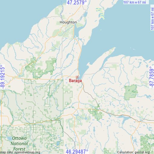
Baraga GPS coordinates[2]
46° 46' 42.744" North, 88° 29' 20.472" West
| Map corner | latitude | longitude |
|---|---|---|
| Upper-left | 47.2579°, | -89.19215° |
| Center: | 46.77854°, | -88.48902° |
| Lower-right: | 46.29487°, | -87.7859° |
| Map W x H: | 107.1×107.1 km | = 66.5×66.5mi |
| max Lat: | 71.29058° ⇑3.7% North |
| Baraga: | 46.77854° |
| min Lat: | ⇓96.3% South 19.06759° |
| min Long | Baraga | max Long |
| -171.73463° | -88.48902° | -66.98998° |
| W 45.3%⇐ | ⇒54.7% E |
Elevation
Elevation of Baraga is 190 m = 623 ft, and this is 104.8 m = 344 ft below average elevation for this country.
| Max E: |
3189 m = 10463 ft | 52.2% |
| Avg. | 294.8 m = 967 ft | |
| Baraga | 190 m = 623 ft | |
Min E: |
-60 m = -197 ft | 47.8% |
See also: United States elevation on elevation.city.
Geographical zone
Baraga is located in North temperate zone (between Tropic of Cancer and the Arctic Circle). Distance of this North polar circle is 2199.9 km =1367 mi to North.| Distance of | km | miles | from Baraga |
|---|---|---|---|
| North Pole | 4805.8 | 2986.2 | to North |
| Arctic Circle | 2199.9 | 1367 | to North |
| Tropic Cancer | 2595.4 | 1612.7 | to South |
| Equator | 5201.3 | 3231.9 | to South |


Nearby cities:
15 places around Baraga: (largest is in red/bold)
• Calumet
52.1 km =32.4 mi,  2°
2°
• Dollar Bay
38 km =23.6 mi,  357°
357°
• Eagle River
72.1 km =44.8 mi,  11°
11°
• Hancock
39.4 km =24.5 mi,  349°
349°
• Houghton
38.7 km =24 mi, 350°
• Hubbell
44.1 km =27.4 mi, 5°
• Ishpeming
70.5 km =43.8 mi,  117°
117°
• L'Anse
3.7 km =2.3 mi,  131°
131°
• Lake Linden
46.6 km =29 mi, 7°
• Laurium
51.1 km =31.8 mi, 3°
• Negaunee
73.8 km =45.9 mi,  114°
114°
• Ontonagon
63.6 km =39.5 mi,  279°
279°
• Republic
57 km =35.4 mi,  136°
136°
• South Range
34.4 km =21.4 mi,  340°
340°
• West Ishpeming
68.5 km =42.6 mi, 118°
Sources, notices
• [Note1] Compared only with cities in United States existing in our database
• [Src1] Map data: © OpenStreetMap contributors (CC-BY-SA)
• [Src2] Other city data from geonames.org with taken over terms of usage.
• [Src3] Geographical zone / Annual Mean Temperature by Robert A. Rohde @ Wikipedia
