Belleville geodata
Belleville (Michigan) is a populated place; located in United States in America/Detroit (GMT-4) time zone. With population of 3,880 people, there are 8358 cities with bigger population in this country. Compared to other cities in United States, 77.4% of cities are located further ↓South; 60.7% of cities are located further ←West and 52.5% of cities have lower elevation than Belleville. Note1


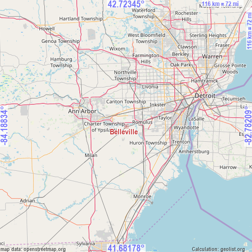
Belleville GPS coordinates[2]
42° 12' 17.136" North, 83° 29' 6.756" West
| Map corner | latitude | longitude |
|---|---|---|
| Upper-left | 42.72345°, | -84.18834° |
| Center: | 42.20476°, | -83.48521° |
| Lower-right: | 41.68178°, | -82.78209° |
| Map W x H: | 115.8×115.8 km | = 72×72mi |
| max Lat: | 71.29058° ⇑22.6% North |
| Belleville: | 42.20476° |
| min Lat: | ⇓77.4% South 19.06759° |
| min Long | Belleville | max Long |
| -171.73463° | -83.48521° | -66.98998° |
| W 60.7%⇐ | ⇒39.3% E |
Elevation
Elevation of Belleville is 208 m = 682 ft, and this is 86.8 m = 285 ft below average elevation for this country.
| Max E: |
3189 m = 10463 ft | 47.5% |
| Avg. | 294.8 m = 967 ft | |
| Belleville | 208 m = 682 ft | |
Min E: |
-60 m = -197 ft | 52.5% |
See also: United States elevation on elevation.city.
Geographical zone
Belleville is located in North temperate zone (between Tropic of Cancer and the Arctic Circle). Distance of this Northern Tropic circle is 2086.8 km =1296.7 mi to South.| Distance of | km | miles | from Belleville |
|---|---|---|---|
| North Pole | 5314.3 | 3302.2 | to North |
| Arctic Circle | 2708.4 | 1682.9 | to North |
| Tropic Cancer | 2086.8 | 1296.7 | to South |
| Equator | 4692.7 | 2915.9 | to South |


Nearby cities:
15 places around Belleville: (largest is in red/bold)
• Canton
11.6 km =7.2 mi,  1°
1°
• Carleton
18 km =11.2 mi,  154°
154°
• Flat Rock
20 km =12.4 mi,  127°
127°
• Garden City
18.5 km =11.5 mi,  43°
43°
• Inkster
17.5 km =10.9 mi,  55°
55°
• Livonia
21.2 km =13.2 mi,  30°
30°
• Maybee
22.5 km =14 mi,  186°
186°
• Milan
21 km =13 mi,  230°
230°
• Plymouth
18.6 km =11.6 mi, 3°
• Romulus
7.6 km =4.7 mi,  75°
75°
• Taylor
18.2 km =11.3 mi, 77°
• Wayne
11.8 km =7.3 mi, 43°
• Westland
15 km =9.3 mi, 27°
• Woodhaven
21.4 km =13.3 mi,  110°
110°
• Ypsilanti
11.3 km =7 mi,  291°
291°
Sources, notices
• [Note1] Compared only with cities in United States existing in our database
• [Src1] Map data: © OpenStreetMap contributors (CC-BY-SA)
• [Src2] Other city data from geonames.org with taken over terms of usage.
• [Src3] Geographical zone / Annual Mean Temperature by Robert A. Rohde @ Wikipedia
