Dexter geodata
Dexter (Michigan) is a populated place; located in United States in America/Detroit (GMT-4) time zone. With population of 4,067 people, there are 8141 cities with bigger population in this country. Compared to other cities in United States, 78.5% of cities are located further ↓South; 59.6% of cities are located further ←West and 65.6% of cities have lower elevation than Dexter. Note1


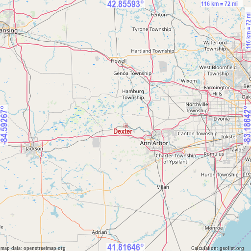
Dexter GPS coordinates[2]
42° 20' 18.024" North, 83° 53' 22.344" West
| Map corner | latitude | longitude |
|---|---|---|
| Upper-left | 42.85593°, | -84.59267° |
| Center: | 42.33834°, | -83.88954° |
| Lower-right: | 41.81646°, | -83.18642° |
| Map W x H: | 115.6×115.6 km | = 71.8×71.8mi |
| max Lat: | 71.29058° ⇑21.5% North |
| Dexter: | 42.33834° |
| min Lat: | ⇓78.5% South 19.06759° |
| min Long | Dexter | max Long |
| -171.73463° | -83.88954° | -66.98998° |
| W 59.6%⇐ | ⇒40.4% E |
Elevation
Elevation of Dexter is 265 m = 869 ft, and this is 29.8 m = 98 ft below average elevation for this country.
| Max E: |
3189 m = 10463 ft | 34.4% |
| Avg. | 294.8 m = 967 ft | |
| Dexter | 265 m = 869 ft | |
Min E: |
-60 m = -197 ft | 65.6% |
See also: United States elevation on elevation.city.
Geographical zone
Dexter is located in North temperate zone (between Tropic of Cancer and the Arctic Circle). Distance of this Northern Tropic circle is 2101.7 km =1305.9 mi to South.| Distance of | km | miles | from Dexter |
|---|---|---|---|
| North Pole | 5299.5 | 3293 | to North |
| Arctic Circle | 2693.6 | 1673.7 | to North |
| Tropic Cancer | 2101.7 | 1305.9 | to South |
| Equator | 4707.6 | 2925.2 | to South |


Nearby cities:
15 places around Dexter: (largest is in red/bold)
• Ann Arbor
14 km =8.7 mi,  118°
118°
• Brighton
23.1 km =14.4 mi,  22°
22°
• Canton
33.7 km =20.9 mi,  95°
95°
• Chelsea
11.1 km =6.9 mi,  258°
258°
• Clinton
30.4 km =18.9 mi,  192°
192°
• Grass Lake
28.3 km =17.6 mi,  249°
249°
• Howell
30.1 km =18.7 mi,  353°
353°
• Manchester
24.2 km =15 mi,  210°
210°
• Milan
32.9 km =20.4 mi,  148°
148°
• Pinckney
14 km =8.7 mi,  340°
340°
• Saline
21 km =13 mi,  155°
155°
• South Lyon
23.8 km =14.8 mi,  55°
55°
• Stockbridge
27 km =16.8 mi,  297°
297°
• Whitmore Lake
16.4 km =10.2 mi,  46°
46°
• Ypsilanti
25.2 km =15.7 mi, 115°
Sources, notices
• [Note1] Compared only with cities in United States existing in our database
• [Src1] Map data: © OpenStreetMap contributors (CC-BY-SA)
• [Src2] Other city data from geonames.org with taken over terms of usage.
• [Src3] Geographical zone / Annual Mean Temperature by Robert A. Rohde @ Wikipedia
