Surry geodata
Surry (New Hampshire) is a populated place; located in United States in America/New_York (GMT-4) time zone. With population of 717 people, there are 18525 cities with bigger population in this country. Compared to other cities in United States, 83.4% of cities are located further ↓South; 95.2% of cities are located further ←West and 56.4% of cities have higher elevation than Surry. Note1


Surry GPS coordinates[2]
43° 1' 4.296" North, 72° 19' 16.32" West
| Map corner | latitude | longitude |
|---|---|---|
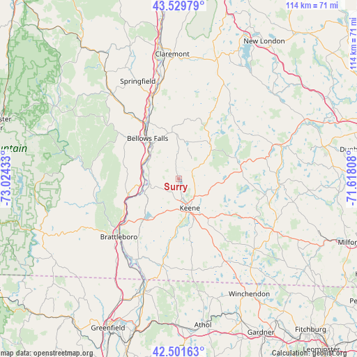
| Upper-left | 43.52979°, | -73.02433° |
| Center: | 43.01786°, | -72.3212° |
| Lower-right: | 42.50163°, | -71.61808° |
| Map W x H: | 114.3×114.3 km | = 71×71mi |
| max Lat: | 71.29058° ⇑16.6% North |
| Surry: | 43.01786° |
| min Lat: | ⇓83.4% South 19.06759° |
| min Long | Surry | max Long |
| -171.73463° | -72.3212° | -66.98998° |
| W 95.2%⇐ | ⇒4.8% E |
Elevation
Elevation of Surry is 174 m = 571 ft, and this is 120.8 m = 396 ft below average elevation for this country.
| Max E: |
3189 m = 10463 ft | 56.4% |
| Avg. | 294.8 m = 967 ft | |
| Surry | 174 m = 571 ft | |
Min E: |
-60 m = -197 ft | 43.6% |
See also: United States elevation on elevation.city.
Geographical zone
Surry is located in North temperate zone (between Tropic of Cancer and the Arctic Circle). Distance of this Northern Tropic circle is 2177.2 km =1352.8 mi to South.| Distance of | km | miles | from Surry |
|---|---|---|---|
| North Pole | 5223.9 | 3246 | to North |
| Arctic Circle | 2618 | 1626.7 | to North |
| Tropic Cancer | 2177.2 | 1352.8 | to South |
| Equator | 4783.1 | 2972.1 | to South |


Nearby cities:
15 places around Surry: (largest is in red/bold)
• Alstead
14.9 km =9.3 mi,  347°
347°
• Bellows Falls
16.3 km =10.1 mi,  322°
322°
• Gilsum
5.8 km =3.6 mi,  54°
54°
• Keene
10 km =6.2 mi,  159°
159°
• Langdon
17.2 km =10.7 mi,  344°
344°
• Marlborough
15.6 km =9.7 mi,  143°
143°
• Marlow
14.9 km =9.3 mi,  42°
42°
• Nelson
15.8 km =9.8 mi,  101°
101°
• North Walpole
17 km =10.6 mi, 322°
• Putney
17 km =10.6 mi,  253°
253°
• Sullivan
8.2 km =5.1 mi,  93°
93°
• Swanzey
16.8 km =10.4 mi,  168°
168°
• Walpole
10.9 km =6.8 mi,  308°
308°
• West Swanzey
16.4 km =10.2 mi,  180°
180°
• Westmoreland
11.6 km =7.2 mi,  237°
237°
Sources, notices
• [Note1] Compared only with cities in United States existing in our database
• [Src1] Map data: © OpenStreetMap contributors (CC-BY-SA)
• [Src2] Other city data from geonames.org with taken over terms of usage.
• [Src3] Geographical zone / Annual Mean Temperature by Robert A. Rohde @ Wikipedia
