Keene geodata
Keene (New Hampshire) is a seat of a second-order administrative division; located in United States in America/New_York (GMT-4) time zone. With population of 23,265 people, there are 2164 cities with bigger population in this country. Compared to other cities in United States, 82.8% of cities are located further ↓South; 95.3% of cities are located further ←West and 60.9% of cities have higher elevation than Keene. Note1


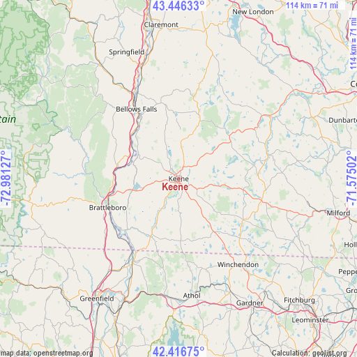
Keene GPS coordinates[2]
42° 56' 1.284" North, 72° 16' 41.304" West
| Map corner | latitude | longitude |
|---|---|---|
| Upper-left | 43.44633°, | -72.98127° |
| Center: | 42.93369°, | -72.27814° |
| Lower-right: | 42.41675°, | -71.57502° |
| Map W x H: | 114.5×114.5 km | = 71.1×71.1mi |
| max Lat: | 71.29058° ⇑17.2% North |
| Keene: | 42.93369° |
| min Lat: | ⇓82.8% South 19.06759° |
| min Long | Keene | max Long |
| -171.73463° | -72.27814° | -66.98998° |
| W 95.3%⇐ | ⇒4.7% E |
Elevation
Elevation of Keene is 150 m = 492 ft, and this is 144.8 m = 475 ft below average elevation for this country.
| Max E: |
3189 m = 10463 ft | 60.9% |
| Avg. | 294.8 m = 967 ft | |
| Keene | 150 m = 492 ft | |
Min E: |
-60 m = -197 ft | 39.1% |
See also: United States elevation on elevation.city.
Geographical zone
Keene is located in North temperate zone (between Tropic of Cancer and the Arctic Circle). Distance of this Northern Tropic circle is 2167.9 km =1347.1 mi to South.| Distance of | km | miles | from Keene |
|---|---|---|---|
| North Pole | 5233.3 | 3251.8 | to North |
| Arctic Circle | 2627.4 | 1632.6 | to North |
| Tropic Cancer | 2167.9 | 1347.1 | to South |
| Equator | 4773.8 | 2966.3 | to South |


Nearby cities:
15 places around Keene: (largest is in red/bold)
• Chesterfield
16.5 km =10.3 mi,  251°
251°
• Dublin
17.8 km =11.1 mi,  99°
99°
• Gilsum
12.8 km =8 mi,  5°
5°
• Harrisville
14.8 km =9.2 mi,  85°
85°
• Marlborough
6.6 km =4.1 mi,  119°
119°
• Nelson
13.5 km =8.4 mi,  62°
62°
• Richmond
19.9 km =12.4 mi,  178°
178°
• Sullivan
10 km =6.2 mi,  27°
27°
• Surry
10 km =6.2 mi,  339°
339°
• Swanzey
7.1 km =4.4 mi, 182°
• Troy
14.5 km =9 mi,  147°
147°
• Walpole
20.2 km =12.6 mi,  323°
323°
• West Swanzey
7.9 km =4.9 mi,  206°
206°
• Westmoreland
13.7 km =8.5 mi,  283°
283°
• Winchester
19.8 km =12.3 mi, 205°
Sources, notices
• [Note1] Compared only with cities in United States existing in our database
• [Src1] Map data: © OpenStreetMap contributors (CC-BY-SA)
• [Src2] Other city data from geonames.org with taken over terms of usage.
• [Src3] Geographical zone / Annual Mean Temperature by Robert A. Rohde @ Wikipedia
