Putnam Lake geodata
Putnam Lake (New York) is a populated place; located in United States in America/New_York (GMT-4) time zone. With population of 3,844 people, there are 8398 cities with bigger population in this country. Compared to other cities in United States, 70.4% of cities are located further ↓South; 92.7% of cities are located further ←West and 59.1% of cities have higher elevation than Putnam Lake. Note1


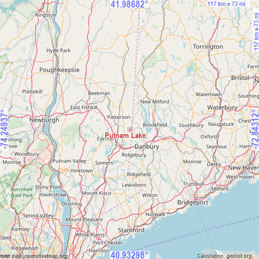
Putnam Lake GPS coordinates[2]
41° 27' 43.344" North, 73° 32' 46.464" West
| Map corner | latitude | longitude |
|---|---|---|
| Upper-left | 41.98682°, | -74.24937° |
| Center: | 41.46204°, | -73.54624° |
| Lower-right: | 40.93298°, | -72.84312° |
| Map W x H: | 117.2×117.2 km | = 72.8×72.8mi |
| max Lat: | 71.29058° ⇑29.6% North |
| Putnam Lake: | 41.46204° |
| min Lat: | ⇓70.4% South 19.06759° |
| min Long | Putnam Lake | max Long |
| -171.73463° | -73.54624° | -66.98998° |
| W 92.7%⇐ | ⇒7.3% E |
Elevation
Elevation of Putnam Lake is 159 m = 522 ft, and this is 135.8 m = 446 ft below average elevation for this country.
| Max E: |
3189 m = 10463 ft | 59.1% |
| Avg. | 294.8 m = 967 ft | |
| Putnam Lake | 159 m = 522 ft | |
Min E: |
-60 m = -197 ft | 40.9% |
See also: United States elevation on elevation.city.
Geographical zone
Putnam Lake is located in North temperate zone (between Tropic of Cancer and the Arctic Circle). Distance of this Northern Tropic circle is 2004.2 km =1245.4 mi to South.| Distance of | km | miles | from Putnam Lake |
|---|---|---|---|
| North Pole | 5396.9 | 3353.5 | to North |
| Arctic Circle | 2791 | 1734.2 | to North |
| Tropic Cancer | 2004.2 | 1245.4 | to South |
| Equator | 4610.1 | 2864.6 | to South |


Nearby cities:
15 places around Putnam Lake: (largest is in red/bold)
• Bethel
15 km =9.3 mi,  132°
132°
• Brewster
9.3 km =5.8 mi,  219°
219°
• Brewster Hill
6.4 km =4 mi,  228°
228°
• Carmel
11.7 km =7.3 mi,  252°
252°
• Carmel Hamlet
12.7 km =7.9 mi, 245°
• Danbury
10.7 km =6.6 mi, 134°
• Heritage Hills
18.6 km =11.6 mi, 222°
• Lake Carmel
10.4 km =6.5 mi,  269°
269°
• Mahopac
18.5 km =11.5 mi,  237°
237°
• New Fairfield
5.1 km =3.2 mi,  84°
84°
• New Milford
17.2 km =10.7 mi,  41°
41°
• Pawling
12.1 km =7.5 mi,  337°
337°
• Peach Lake
10.8 km =6.7 mi,  194°
194°
• Ridgefield
20.5 km =12.7 mi,  168°
168°
• Sherman
13.7 km =8.5 mi,  17°
17°
Sources, notices
• [Note1] Compared only with cities in United States existing in our database
• [Src1] Map data: © OpenStreetMap contributors (CC-BY-SA)
• [Src2] Other city data from geonames.org with taken over terms of usage.
• [Src3] Geographical zone / Annual Mean Temperature by Robert A. Rohde @ Wikipedia
