Whitney Point geodata
Whitney Point (New York) is a populated place; located in United States in America/New_York (GMT-4) time zone. With population of 941 people, there are 16706 cities with bigger population in this country. Compared to other cities in United States, 78.4% of cities are located further ↓South; 84.2% of cities are located further ←West and 71.1% of cities have lower elevation than Whitney Point. Note1


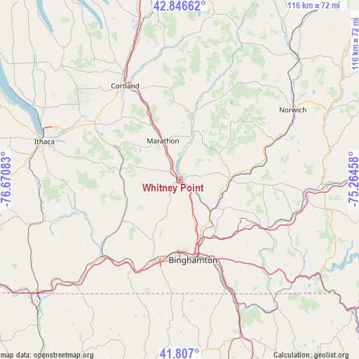
Whitney Point GPS coordinates[2]
42° 19' 44.256" North, 75° 58' 3.72" West
| Map corner | latitude | longitude |
|---|---|---|
| Upper-left | 42.84662°, | -76.67083° |
| Center: | 42.32896°, | -75.9677° |
| Lower-right: | 41.807°, | -75.26458° |
| Map W x H: | 115.6×115.6 km | = 71.8×71.8mi |
| max Lat: | 71.29058° ⇑21.6% North |
| Whitney Point: | 42.32896° |
| min Lat: | ⇓78.4% South 19.06759° |
| min Long | Whitney Point | max Long |
| -171.73463° | -75.9677° | -66.98998° |
| W 84.2%⇐ | ⇒15.8% E |
Elevation
Elevation of Whitney Point is 291 m = 955 ft, and this is 3.8 m = 12 ft below average elevation for this country.
| Max E: |
3189 m = 10463 ft | 28.9% |
| Avg. | 294.8 m = 967 ft | |
| Whitney Point | 291 m = 955 ft | |
Min E: |
-60 m = -197 ft | 71.1% |
See also: United States elevation on elevation.city.
Geographical zone
Whitney Point is located in North temperate zone (between Tropic of Cancer and the Arctic Circle). Distance of this Northern Tropic circle is 2100.6 km =1305.3 mi to South.| Distance of | km | miles | from Whitney Point |
|---|---|---|---|
| North Pole | 5300.5 | 3293.6 | to North |
| Arctic Circle | 2694.6 | 1674.3 | to North |
| Tropic Cancer | 2100.6 | 1305.3 | to South |
| Equator | 4706.5 | 2924.5 | to South |


Nearby cities:
15 places around Whitney Point: (largest is in red/bold)
• Apalachin
32.7 km =20.3 mi,  208°
208°
• Binghamton
25.9 km =16.1 mi,  170°
170°
• Candor
32.6 km =20.3 mi,  250°
250°
• Chenango Bridge
20 km =12.4 mi,  154°
154°
• Dryden
32.5 km =20.2 mi,  303°
303°
• Endicott
26.5 km =16.5 mi,  194°
194°
• Endwell
24.4 km =15.2 mi, 190°
• Greene
16.3 km =10.1 mi,  89°
89°
• Johnson City
23.7 km =14.7 mi,  178°
178°
• Lakeview
14.2 km =8.8 mi,  36°
36°
• Marathon
13.6 km =8.5 mi,  337°
337°
• McGraw
31.4 km =19.5 mi, 340°
• Newark Valley
21.2 km =13.2 mi,  236°
236°
• Oxford
32.9 km =20.4 mi,  67°
67°
• Port Dickinson
22.5 km =14 mi,  164°
164°
Sources, notices
• [Note1] Compared only with cities in United States existing in our database
• [Src1] Map data: © OpenStreetMap contributors (CC-BY-SA)
• [Src2] Other city data from geonames.org with taken over terms of usage.
• [Src3] Geographical zone / Annual Mean Temperature by Robert A. Rohde @ Wikipedia
