Chinchilla geodata
Chinchilla (Pennsylvania) is a populated place; located in United States in America/New_York (GMT-4) time zone. With population of 2,098 people, there are 11626 cities with bigger population in this country. Compared to other cities in United States, 70.6% of cities are located further ↓South; 85.1% of cities are located further ←West and 80.4% of cities have lower elevation than Chinchilla. Note1
Administrative division(s):
- Level 1: Pennsylvania
- Level 2: Lackawanna County
- Level 3: Township of South Abington


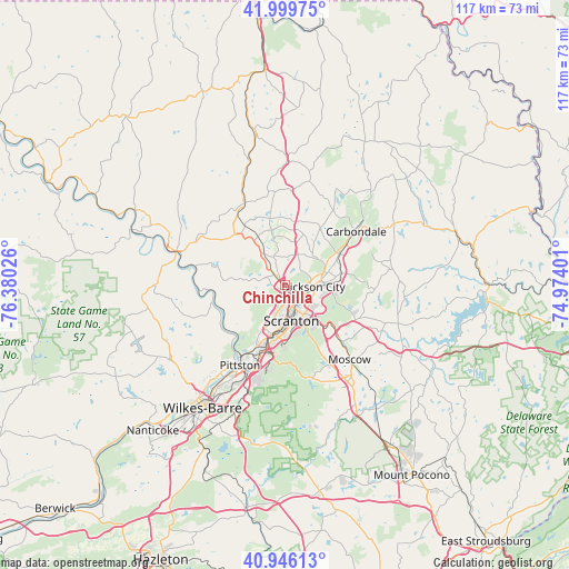
Chinchilla GPS coordinates[2]
41° 28' 30.288" North, 75° 40' 37.668" West
| Map corner | latitude | longitude |
|---|---|---|
| Upper-left | 41.99975°, | -76.38026° |
| Center: | 41.47508°, | -75.67713° |
| Lower-right: | 40.94613°, | -74.97401° |
| Map W x H: | 117.2×117.2 km | = 72.8×72.8mi |
| max Lat: | 71.29058° ⇑29.4% North |
| Chinchilla: | 41.47508° |
| min Lat: | ⇓70.6% South 19.06759° |
| min Long | Chinchilla | max Long |
| -171.73463° | -75.67713° | -66.98998° |
| W 85.1%⇐ | ⇒14.9% E |
Elevation
Elevation of Chinchilla is 357 m = 1171 ft, and this is 62.2 m = 204 ft above average elevation for this country.
| Max E: |
3189 m = 10463 ft | 19.6% |
| Chinchilla | 357 m 1171 ft | |
| Avg. | 294.8 m = 967 ft | |
Min E: |
-60 m = -197 ft | 80.4% |
See also: United States elevation on elevation.city.
Geographical zone
Chinchilla is located in North temperate zone (between Tropic of Cancer and the Arctic Circle). Distance of this Northern Tropic circle is 2005.7 km =1246.3 mi to South.| Distance of | km | miles | from Chinchilla |
|---|---|---|---|
| North Pole | 5395.5 | 3352.6 | to North |
| Arctic Circle | 2789.6 | 1733.4 | to North |
| Tropic Cancer | 2005.7 | 1246.3 | to South |
| Equator | 4611.6 | 2865.5 | to South |


Nearby cities:
15 places around Chinchilla: (largest is in red/bold)
• Archbald
11.9 km =7.4 mi,  79°
79°
• Blakely
6.9 km =4.3 mi, 84°
• Clarks Green
2.7 km =1.7 mi,  316°
316°
• Clarks Summit
3 km =1.9 mi,  300°
300°
• Dalton
8.2 km =5.1 mi, 323°
• Dickson City
5.8 km =3.6 mi,  93°
93°
• Dunmore
7.2 km =4.5 mi,  148°
148°
• Glenburn
6.7 km =4.2 mi, 324°
• Jessup
9.6 km =6 mi, 94°
• Old Forge
12.5 km =7.8 mi,  202°
202°
• Olyphant
6.2 km =3.9 mi,  96°
96°
• Scranton
7.4 km =4.6 mi,  172°
172°
• Taylor
9.3 km =5.8 mi, 195°
• Throop
6 km =3.7 mi,  115°
115°
• Waverly
6.2 km =3.9 mi,  337°
337°
Sources, notices
• [Note1] Compared only with cities in United States existing in our database
• [Src1] Map data: © OpenStreetMap contributors (CC-BY-SA)
• [Src2] Other city data from geonames.org with taken over terms of usage.
• [Src3] Geographical zone / Annual Mean Temperature by Robert A. Rohde @ Wikipedia
