Port Allegany geodata
Port Allegany (Pennsylvania) is a populated place; located in United States in America/New_York (GMT-4) time zone. With population of 2,091 people, there are 11655 cities with bigger population in this country. Compared to other cities in United States, 74% of cities are located further ↓South; 77.3% of cities are located further ←West and 86.4% of cities have lower elevation than Port Allegany. Note1
Administrative division(s):
- Level 1: Pennsylvania
- Level 2: McKean County
- Level 3: Borough of Port Allegany


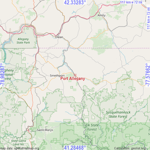
Port Allegany GPS coordinates[2]
41° 48' 39.24" North, 78° 16' 47.064" West
| Map corner | latitude | longitude |
|---|---|---|
| Upper-left | 42.33283°, | -78.98287° |
| Center: | 41.8109°, | -78.27974° |
| Lower-right: | 41.28468°, | -77.57662° |
| Map W x H: | 116.5×116.5 km | = 72.4×72.4mi |
| max Lat: | 71.29058° ⇑26% North |
| Port Allegany: | 41.8109° |
| min Lat: | ⇓74% South 19.06759° |
| min Long | Port Allegany | max Long |
| -171.73463° | -78.27974° | -66.98998° |
| W 77.3%⇐ | ⇒22.7% E |
Elevation
Elevation of Port Allegany is 451 m = 1480 ft, and this is 156.2 m = 512 ft above average elevation for this country.
| Max E: |
3189 m = 10463 ft | 13.6% |
| Port Allegany | 451 m 1480 ft | |
| Avg. | 294.8 m = 967 ft | |
Min E: |
-60 m = -197 ft | 86.4% |
See also: United States elevation on elevation.city.
Geographical zone
Port Allegany is located in North temperate zone (between Tropic of Cancer and the Arctic Circle). Distance of this Northern Tropic circle is 2043 km =1269.5 mi to South.| Distance of | km | miles | from Port Allegany |
|---|---|---|---|
| North Pole | 5358.1 | 3329.4 | to North |
| Arctic Circle | 2752.2 | 1710.1 | to North |
| Tropic Cancer | 2043 | 1269.5 | to South |
| Equator | 4648.9 | 2888.7 | to South |


Nearby cities:
15 places around Port Allegany: (largest is in red/bold)
• Alma
29 km =18 mi,  39°
39°
• Austin
25.4 km =15.8 mi,  141°
141°
• Bolivar
29.9 km =18.6 mi,  18°
18°
• Coudersport
21.9 km =13.6 mi,  100°
100°
• Eldred
18.5 km =11.5 mi,  331°
331°
• Foster Brook
33.4 km =20.8 mi,  303°
303°
• Lewis Run
32.3 km =20.1 mi,  281°
281°
• Mount Jewett
31.2 km =19.4 mi,  252°
252°
• Olean
32.1 km =19.9 mi,  337°
337°
• Portville
25.8 km =16 mi,  348°
348°
• Roulette
11 km =6.8 mi,  108°
108°
• Shinglehouse
18.5 km =11.5 mi, 23°
• Smethport
13.7 km =8.5 mi,  270°
270°
• Weston Mills
30.4 km =18.9 mi, 345°
• Westons Mills
29.1 km =18.1 mi, 343°
Sources, notices
• [Note1] Compared only with cities in United States existing in our database
• [Src1] Map data: © OpenStreetMap contributors (CC-BY-SA)
• [Src2] Other city data from geonames.org with taken over terms of usage.
• [Src3] Geographical zone / Annual Mean Temperature by Robert A. Rohde @ Wikipedia
