Vine Hill geodata
Vine Hill (California) is a populated place; located in United States in America/Los_Angeles (GMT-7) time zone. With population of 3,761 people, there are 8510 cities with bigger population in this country. Compared to other cities in United States, 61.5% of cities are located further ↑North; 95.3% of cities are located further →East and 93% of cities have higher elevation than Vine Hill. Note1


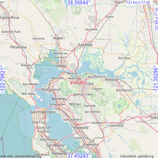
Vine Hill GPS coordinates[2]
38° 0' 30.708" North, 122° 5' 45.888" West
| Map corner | latitude | longitude |
|---|---|---|
| Upper-left | 38.56044°, | -122.79921° |
| Center: | 38.00853°, | -122.09608° |
| Lower-right: | 37.45243°, | -121.39296° |
| Map W x H: | 123.2×123.2 km | = 76.6×76.6mi |
| max Lat: | 71.29058° ⇑61.5% North |
| Vine Hill: | 38.00853° |
| min Lat: | ⇓38.5% South 19.06759° |
| min Long | Vine Hill | max Long |
| -171.73463° | -122.09608° | -66.98998° |
| W 4.7%⇐ | ⇒95.3% E |
Elevation
Elevation of Vine Hill is 11 m = 36 ft, and this is 283.8 m = 931 ft below average elevation for this country.
| Max E: |
3189 m = 10463 ft | 93% |
| Avg. | 294.8 m = 967 ft | |
| Vine Hill | 11 m = 36 ft | |
Min E: |
-60 m = -197 ft | 7% |
See also: United States elevation on elevation.city.
Geographical zone
Vine Hill is located in North temperate zone (between Tropic of Cancer and the Arctic Circle). Distance of this Northern Tropic circle is 1620.2 km =1006.7 mi to South.| Distance of | km | miles | from Vine Hill |
|---|---|---|---|
| North Pole | 5780.9 | 3592.1 | to North |
| Arctic Circle | 3175 | 1972.9 | to North |
| Tropic Cancer | 1620.2 | 1006.7 | to South |
| Equator | 4226.2 | 2626 | to South |


Nearby cities:
15 places around Vine Hill: (largest is in red/bold)
• Acalanes Ridge
11.6 km =7.2 mi,  172°
172°
• Bay Point
12 km =7.5 mi,  79°
79°
• Benicia
7.1 km =4.4 mi,  309°
309°
• Clyde
6.1 km =3.8 mi,  72°
72°
• Concord
6.6 km =4.1 mi,  120°
120°
• Contra Costa Centre
9.6 km =6 mi,  159°
159°
• Crockett
11.3 km =7 mi,  295°
295°
• Lafayette
13.8 km =8.6 mi,  188°
188°
• Martinez
3.5 km =2.2 mi,  289°
289°
• Mountain View
1.9 km =1.2 mi,  270°
270°
• Pacheco
3.3 km =2.1 mi,  146°
146°
• Pleasant Hill
7.4 km =4.6 mi, 155°
• Saranap
13.9 km =8.6 mi, 172°
• Waldon
9.8 km =6.1 mi, 158°
• Walnut Creek
11.7 km =7.3 mi, 166°
Sources, notices
• [Note1] Compared only with cities in United States existing in our database
• [Src1] Map data: © OpenStreetMap contributors (CC-BY-SA)
• [Src2] Other city data from geonames.org with taken over terms of usage.
• [Src3] Geographical zone / Annual Mean Temperature by Robert A. Rohde @ Wikipedia
