Congress geodata
Congress (Arizona) is a populated place; located in United States in America/Phoenix (GMT-7) time zone. With population of 1,975 people, there are 12010 cities with bigger population in this country. Compared to other cities in United States, 79.2% of cities are located further ↑North; 88.2% of cities are located further →East and 93% of cities have lower elevation than Congress. Note1


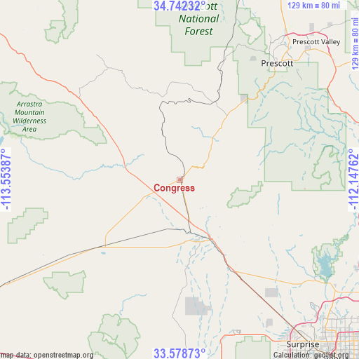
Congress GPS coordinates[2]
34° 9' 45.108" North, 112° 51' 2.664" West
| Map corner | latitude | longitude |
|---|---|---|
| Upper-left | 34.74232°, | -113.55387° |
| Center: | 34.16253°, | -112.85074° |
| Lower-right: | 33.57873°, | -112.14762° |
| Map W x H: | 129.4×129.4 km | = 80.4×80.4mi |
| max Lat: | 71.29058° ⇑79.2% North |
| Congress: | 34.16253° |
| min Lat: | ⇓20.8% South 19.06759° |
| min Long | Congress | max Long |
| -171.73463° | -112.85074° | -66.98998° |
| W 11.8%⇐ | ⇒88.2% E |
Elevation
Elevation of Congress is 931 m = 3054 ft, and this is 636.2 m = 2087 ft above average elevation for this country.
| Max E: |
3189 m = 10463 ft | 7% |
| Congress | 931 m 3054 ft | |
| Avg. | 294.8 m = 967 ft | |
Min E: |
-60 m = -197 ft | 93% |
See also: United States elevation on elevation.city.
Geographical zone
Congress is located in North temperate zone (between Tropic of Cancer and the Arctic Circle). Distance of this Northern Tropic circle is 1192.6 km =741 mi to South.| Distance of | km | miles | from Congress |
|---|---|---|---|
| North Pole | 6208.5 | 3857.8 | to North |
| Arctic Circle | 3602.7 | 2238.6 | to North |
| Tropic Cancer | 1192.6 | 741 | to South |
| Equator | 3798.5 | 2360.3 | to South |


Nearby cities:
15 places around Congress: (largest is in red/bold)
• Aguila
38.5 km =23.9 mi,  230°
230°
• Bagdad
56.8 km =35.3 mi,  325°
325°
• Black Canyon City
65.2 km =40.5 mi,  98°
98°
• Cordes Lakes
70.6 km =43.9 mi,  76°
76°
• Dewey-Humboldt
69.2 km =43 mi,  53°
53°
• Mayer
62.2 km =38.6 mi,  65°
65°
• New River
71.3 km =44.3 mi,  112°
112°
• Prescott
54.7 km =34 mi,  39°
39°
• Prescott Valley
69.9 km =43.4 mi, 44°
• Spring Valley
66.7 km =41.4 mi, 72°
• Wickenburg
24.3 km =15.1 mi,  152°
152°
• Wilhoit
38 km =23.6 mi, 39°
• Williamson
65.2 km =40.5 mi,  25°
25°
• Wittmann
52.2 km =32.4 mi, 145°
• Yarnell
11.6 km =7.2 mi,  55°
55°
Sources, notices
• [Note1] Compared only with cities in United States existing in our database
• [Src1] Map data: © OpenStreetMap contributors (CC-BY-SA)
• [Src2] Other city data from geonames.org with taken over terms of usage.
• [Src3] Geographical zone / Annual Mean Temperature by Robert A. Rohde @ Wikipedia
