Wenden geodata
Wenden (Arizona) is a populated place; located in United States in America/Phoenix (GMT-7) time zone. With population of 728 people, there are 18421 cities with bigger population in this country. Compared to other cities in United States, 81.4% of cities are located further ↑North; 88.3% of cities are located further →East and 89.1% of cities have lower elevation than Wenden. Note1


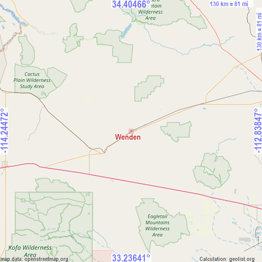
Wenden GPS coordinates[2]
33° 49' 21.108" North, 113° 32' 29.724" West
| Map corner | latitude | longitude |
|---|---|---|
| Upper-left | 34.40466°, | -114.24472° |
| Center: | 33.82253°, | -113.54159° |
| Lower-right: | 33.23641°, | -112.83847° |
| Map W x H: | 129.9×129.9 km | = 80.7×80.7mi |
| max Lat: | 71.29058° ⇑81.4% North |
| Wenden: | 33.82253° |
| min Lat: | ⇓18.6% South 19.06759° |
| min Long | Wenden | max Long |
| -171.73463° | -113.54159° | -66.98998° |
| W 11.7%⇐ | ⇒88.3% E |
Elevation
Elevation of Wenden is 569 m = 1867 ft, and this is 274.2 m = 900 ft above average elevation for this country.
| Max E: |
3189 m = 10463 ft | 10.9% |
| Wenden | 569 m 1867 ft | |
| Avg. | 294.8 m = 967 ft | |
Min E: |
-60 m = -197 ft | 89.1% |
See also: United States elevation on elevation.city.
Geographical zone
Wenden is located in North temperate zone (between Tropic of Cancer and the Arctic Circle). Distance of this Northern Tropic circle is 1154.8 km =717.6 mi to South.| Distance of | km | miles | from Wenden |
|---|---|---|---|
| North Pole | 6246.3 | 3881.3 | to North |
| Arctic Circle | 3640.5 | 2262.1 | to North |
| Tropic Cancer | 1154.8 | 717.6 | to South |
| Equator | 3760.7 | 2336.8 | to South |


Nearby cities:
15 places around Wenden: (largest is in red/bold)
• Aguila
36.5 km =22.7 mi,  68°
68°
• Big River
83.4 km =51.8 mi,  295°
295°
• Bluewater
77 km =47.8 mi, 299°
• Bouse
44.6 km =27.7 mi,  285°
285°
• Brenda
40.5 km =25.2 mi,  246°
246°
• Cienega Springs
75 km =46.6 mi, 302°
• Congress
74.1 km =46 mi,  59°
59°
• La Paz Valley
70.3 km =43.7 mi, 247°
• Parker
77.9 km =48.4 mi, 297°
• Parker Strip
74.9 km =46.5 mi,  306°
306°
• Quartzsite
66 km =41 mi, 254°
• Salome
8.2 km =5.1 mi,  235°
235°
• Vicksburg
21.3 km =13.2 mi, 245°
• Wickenburg
76.7 km =47.7 mi,  77°
77°
• Yarnell
85.6 km =53.2 mi, 58°
Sources, notices
• [Note1] Compared only with cities in United States existing in our database
• [Src1] Map data: © OpenStreetMap contributors (CC-BY-SA)
• [Src2] Other city data from geonames.org with taken over terms of usage.
• [Src3] Geographical zone / Annual Mean Temperature by Robert A. Rohde @ Wikipedia
