Santa Rosa geodata
Santa Rosa (California) is a seat of a second-order administrative division; located in United States in America/Los_Angeles (GMT-7) time zone. With population of 174,972 people, there are 158 cities with bigger population in this country. Compared to other cities in United States, 59.1% of cities are located further ↑North; 97.3% of cities are located further →East and 78.2% of cities have higher elevation than Santa Rosa. Note1


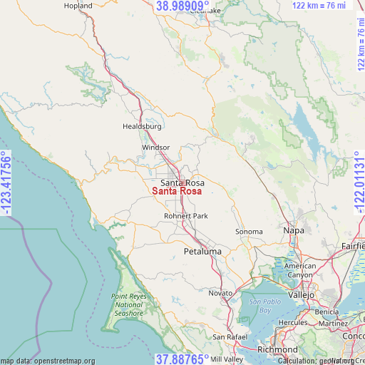
Santa Rosa GPS coordinates[2]
38° 26' 25.692" North, 122° 42' 51.948" West
| Map corner | latitude | longitude |
|---|---|---|
| Upper-left | 38.98909°, | -123.41756° |
| Center: | 38.44047°, | -122.71443° |
| Lower-right: | 37.88765°, | -122.01131° |
| Map W x H: | 122.5×122.5 km | = 76.1×76.1mi |
| max Lat: | 71.29058° ⇑59.1% North |
| Santa Rosa: | 38.44047° |
| min Lat: | ⇓40.9% South 19.06759° |
| min Long | Santa Rosa | max Long |
| -171.73463° | -122.71443° | -66.98998° |
| W 2.7%⇐ | ⇒97.3% E |
Elevation
Elevation of Santa Rosa is 55 m = 180 ft, and this is 239.8 m = 787 ft below average elevation for this country.
| Max E: |
3189 m = 10463 ft | 78.2% |
| Avg. | 294.8 m = 967 ft | |
| Santa Rosa | 55 m = 180 ft | |
Min E: |
-60 m = -197 ft | 21.8% |
See also: Santa Rosa elevation on elevation.city.
Geographical zone
Santa Rosa is located in North temperate zone (between Tropic of Cancer and the Arctic Circle). Distance of this Northern Tropic circle is 1668.3 km =1036.6 mi to South.| Distance of | km | miles | from Santa Rosa |
|---|---|---|---|
| North Pole | 5732.9 | 3562.3 | to North |
| Arctic Circle | 3127 | 1943 | to North |
| Tropic Cancer | 1668.3 | 1036.6 | to South |
| Equator | 4274.2 | 2655.9 | to South |


Nearby cities:
15 places around Santa Rosa: (largest is in red/bold)
• Calistoga
19.3 km =12 mi,  37°
37°
• Cotati
12.6 km =7.8 mi,  177°
177°
• Eldridge
20.5 km =12.7 mi,  119°
119°
• Forestville
15.7 km =9.8 mi,  283°
283°
• Fulton
7.9 km =4.9 mi,  322°
322°
• Glen Ellen
18.6 km =11.6 mi, 117°
• Graton
13.5 km =8.4 mi,  268°
268°
• Kenwood
15 km =9.3 mi,  101°
101°
• Larkfield-Wikiup
8.7 km =5.4 mi,  338°
338°
• Occidental
20.7 km =12.9 mi,  259°
259°
• Penngrove
16.2 km =10.1 mi,  165°
165°
• Rohnert Park
11.3 km =7 mi, 174°
• Roseland
2.4 km =1.5 mi,  210°
210°
• Sebastopol
10.4 km =6.5 mi,  245°
245°
• Windsor
14.8 km =9.2 mi, 323°
Sources, notices
• [Note1] Compared only with cities in United States existing in our database
• [Src1] Map data: © OpenStreetMap contributors (CC-BY-SA)
• [Src2] Other city data from geonames.org with taken over terms of usage.
• [Src3] Geographical zone / Annual Mean Temperature by Robert A. Rohde @ Wikipedia
