Crownpoint geodata
Crownpoint (New Mexico) is a populated place; located in United States in America/Denver (GMT-6) time zone. With population of 2,278 people, there are 11142 cities with bigger population in this country. Compared to other cities in United States, 71.9% of cities are located further ↑North; 85.1% of cities are located further →East and 99.5% of cities have lower elevation than Crownpoint. Note1


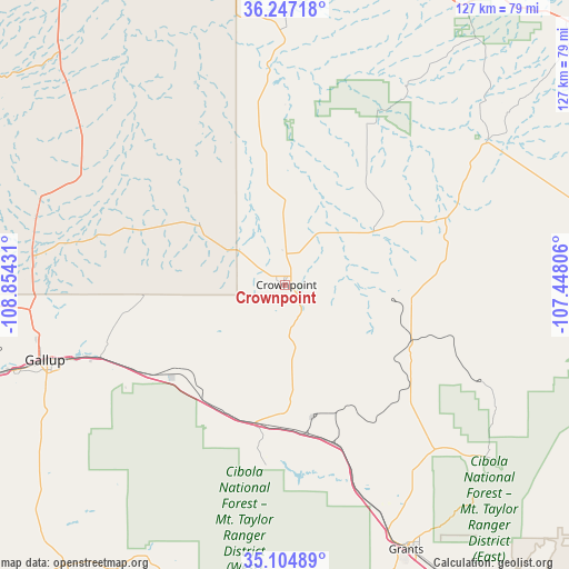
Crownpoint GPS coordinates[2]
35° 40' 41.088" North, 108° 9' 4.248" West
| Map corner | latitude | longitude |
|---|---|---|
| Upper-left | 36.24718°, | -108.85431° |
| Center: | 35.67808°, | -108.15118° |
| Lower-right: | 35.10489°, | -107.44806° |
| Map W x H: | 127×127 km | = 78.9×78.9mi |
| max Lat: | 71.29058° ⇑71.9% North |
| Crownpoint: | 35.67808° |
| min Lat: | ⇓28.1% South 19.06759° |
| min Long | Crownpoint | max Long |
| -171.73463° | -108.15118° | -66.98998° |
| W 14.9%⇐ | ⇒85.1% E |
Elevation
Elevation of Crownpoint is 2129 m = 6985 ft, and this is 1834.2 m = 6018 ft above average elevation for this country.
| Max E: |
3189 m = 10463 ft | 0.5% |
| Crownpoint | 2129 m 6985 ft | |
| Avg. | 294.8 m = 967 ft | |
Min E: |
-60 m = -197 ft | 99.5% |
See also: United States elevation on elevation.city.
Geographical zone
Crownpoint is located in North temperate zone (between Tropic of Cancer and the Arctic Circle). Distance of this Northern Tropic circle is 1361.1 km =845.7 mi to South.| Distance of | km | miles | from Crownpoint |
|---|---|---|---|
| North Pole | 6040 | 3753.1 | to North |
| Arctic Circle | 3434.1 | 2133.9 | to North |
| Tropic Cancer | 1361.1 | 845.7 | to South |
| Equator | 3967 | 2465 | to South |


Nearby cities:
15 places around Crownpoint: (largest is in red/bold)
• Bluewater Village
52.4 km =32.6 mi,  163°
163°
• Church Rock
43.6 km =27.1 mi,  248°
248°
• Fort Defiance
83.9 km =52.1 mi,  275°
275°
• Gallup
56 km =34.8 mi, 252°
• Grants
64.9 km =40.3 mi, 155°
• Milan
61.2 km =38 mi, 157°
• Navajo
83.4 km =51.8 mi,  287°
287°
• Rock Springs
61.7 km =38.3 mi,  262°
262°
• Saint Michaels
85.4 km =53.1 mi,  267°
267°
• San Rafael
67.4 km =41.9 mi, 158°
• Thoreau
31.3 km =19.4 mi,  192°
192°
• Tohatchi
58.6 km =36.4 mi, 290°
• Twin Lakes
56.4 km =35 mi, 273°
• Window Rock
81.4 km =50.6 mi, 270°
• Yah-ta-hey
57.1 km =35.5 mi, 264°
Sources, notices
• [Note1] Compared only with cities in United States existing in our database
• [Src1] Map data: © OpenStreetMap contributors (CC-BY-SA)
• [Src2] Other city data from geonames.org with taken over terms of usage.
• [Src3] Geographical zone / Annual Mean Temperature by Robert A. Rohde @ Wikipedia
