Rosita North geodata
Rosita North (Texas) is a populated place; located in United States in America/Chicago (GMT-5) time zone. With population of 3,818 people, there are 8440 cities with bigger population in this country. Compared to other cities in United States, 95.7% of cities are located further ↑North; 81% of cities are located further →East and 60.1% of cities have lower elevation than Rosita North. Note1


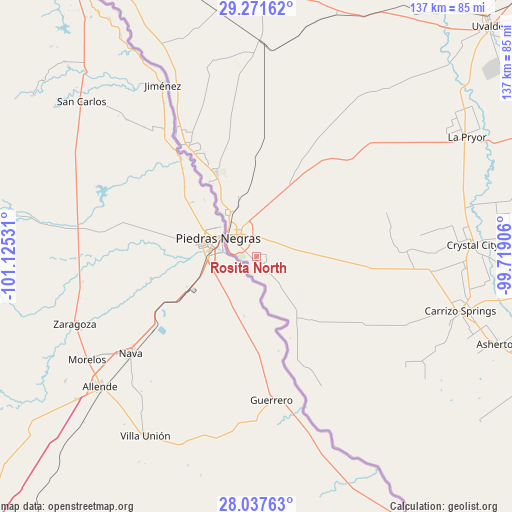
Rosita North GPS coordinates[2]
28° 39' 23.184" North, 100° 25' 19.848" West
| Map corner | latitude | longitude |
|---|---|---|
| Upper-left | 29.27162°, | -101.12531° |
| Center: | 28.65644°, | -100.42218° |
| Lower-right: | 28.03763°, | -99.71906° |
| Map W x H: | 137.2×137.2 km | = 85.3×85.3mi |
| max Lat: | 71.29058° ⇑95.7% North |
| Rosita North: | 28.65644° |
| min Lat: | ⇓4.3% South 19.06759° |
| min Long | Rosita North | max Long |
| -171.73463° | -100.42218° | -66.98998° |
| W 19%⇐ | ⇒81% E |
Elevation
Elevation of Rosita North is 240 m = 787 ft, and this is 54.8 m = 180 ft below average elevation for this country.
| Max E: |
3189 m = 10463 ft | 39.9% |
| Avg. | 294.8 m = 967 ft | |
| Rosita North | 240 m = 787 ft | |
Min E: |
-60 m = -197 ft | 60.1% |
See also: United States elevation on elevation.city.
Geographical zone
Rosita North is located in North temperate zone (between Tropic of Cancer and the Arctic Circle). Distance of this Northern Tropic circle is 580.4 km =360.6 mi to South.| Distance of | km | miles | from Rosita North |
|---|---|---|---|
| North Pole | 6820.8 | 4238.2 | to North |
| Arctic Circle | 4214.9 | 2619 | to North |
| Tropic Cancer | 580.4 | 360.6 | to South |
| Equator | 3186.3 | 1979.9 | to South |


Nearby cities:
15 places around Rosita North: (largest is in red/bold)
• Asherton
68.9 km =42.8 mi,  110°
110°
• Carrizo Hill
60.3 km =37.5 mi, 106°
• Carrizo Springs
56.8 km =35.3 mi, 105°
• Crystal City
58 km =36 mi,  87°
87°
• Eagle Pass
9.6 km =6 mi,  307°
307°
• Eidson Road
6.7 km =4.2 mi,  290°
290°
• Elm Creek
14.8 km =9.2 mi,  332°
332°
• Fort Clark Springs
72.2 km =44.9 mi,  0°
0°
• La Pryor
64.1 km =39.8 mi,  60°
60°
• Las Quintas Fronterizas
5.9 km =3.7 mi, 309°
• Las Quintas Fronterizas Colonia
6 km =3.7 mi, 310°
• Radar Base
24.7 km =15.3 mi, 334°
• Rosita South
3.7 km =2.3 mi,  189°
189°
• Seco Mines
12.5 km =7.8 mi,  324°
324°
• Siesta Acres
13.1 km =8.1 mi, 329°
Sources, notices
• [Note1] Compared only with cities in United States existing in our database
• [Src1] Map data: © OpenStreetMap contributors (CC-BY-SA)
• [Src2] Other city data from geonames.org with taken over terms of usage.
• [Src3] Geographical zone / Annual Mean Temperature by Robert A. Rohde @ Wikipedia
