Greeley geodata
Greeley (Colorado) is a seat of a second-order administrative division; located in United States in America/Denver (GMT-6) time zone. With population of 100,883 people, there are 344 cities with bigger population in this country. Compared to other cities in United States, 58.2% of cities are located further ↓South; 82.9% of cities are located further →East and 96.2% of cities have lower elevation than Greeley. Note1


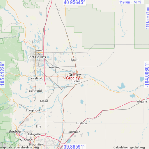
Greeley GPS coordinates[2]
40° 25' 23.916" North, 104° 42' 32.868" West
| Map corner | latitude | longitude |
|---|---|---|
| Upper-left | 40.95645°, | -105.41226° |
| Center: | 40.42331°, | -104.70913° |
| Lower-right: | 39.88591°, | -104.00601° |
| Map W x H: | 119×119 km | = 73.9×73.9mi |
| max Lat: | 71.29058° ⇑41.8% North |
| Greeley: | 40.42331° |
| min Lat: | ⇓58.2% South 19.06759° |
| min Long | Greeley | max Long |
| -171.73463° | -104.70913° | -66.98998° |
| W 17.1%⇐ | ⇒82.9% E |
Elevation
Elevation of Greeley is 1428 m = 4685 ft, and this is 1133.2 m = 3718 ft above average elevation for this country.
| Max E: |
3189 m = 10463 ft | 3.8% |
| Greeley | 1428 m 4685 ft | |
| Avg. | 294.8 m = 967 ft | |
Min E: |
-60 m = -197 ft | 96.2% |
See also: Greeley elevation on elevation.city.
Geographical zone
Greeley is located in North temperate zone (between Tropic of Cancer and the Arctic Circle). Distance of this Northern Tropic circle is 1888.7 km =1173.6 mi to South.| Distance of | km | miles | from Greeley |
|---|---|---|---|
| North Pole | 5512.4 | 3425.2 | to North |
| Arctic Circle | 2906.5 | 1806 | to North |
| Tropic Cancer | 1888.7 | 1173.6 | to South |
| Equator | 4494.7 | 2792.9 | to South |


Nearby cities:
15 places around Greeley: (largest is in red/bold)
• Ault
17.8 km =11.1 mi,  353°
353°
• Campion
32.3 km =20.1 mi,  255°
255°
• Eaton
11.9 km =7.4 mi,  359°
359°
• Evans
5.4 km =3.4 mi,  164°
164°
• Gilcrest
16.8 km =10.4 mi,  200°
200°
• Johnstown
19.7 km =12.2 mi,  240°
240°
• Kersey
13.1 km =8.1 mi,  107°
107°
• La Salle
8.3 km =5.2 mi,  175°
175°
• Loveland
31.1 km =19.3 mi, 264°
• Milliken
16.2 km =10.1 mi,  229°
229°
• Pierce
23.9 km =14.9 mi, 350°
• Platteville
25.1 km =15.6 mi, 202°
• Severance
16.4 km =10.2 mi,  313°
313°
• Timnath
26.2 km =16.3 mi,  296°
296°
• Windsor
17.3 km =10.7 mi,  290°
290°
Sources, notices
• [Note1] Compared only with cities in United States existing in our database
• [Src1] Map data: © OpenStreetMap contributors (CC-BY-SA)
• [Src2] Other city data from geonames.org with taken over terms of usage.
• [Src3] Geographical zone / Annual Mean Temperature by Robert A. Rohde @ Wikipedia
