Plummer geodata
Plummer (Idaho) is a populated place; located in United States in America/Los_Angeles (GMT-7) time zone. With population of 1,019 people, there are 16155 cities with bigger population in this country. Compared to other cities in United States, 97.3% of cities are located further ↓South; 89.6% of cities are located further →East and 92.3% of cities have lower elevation than Plummer. Note1


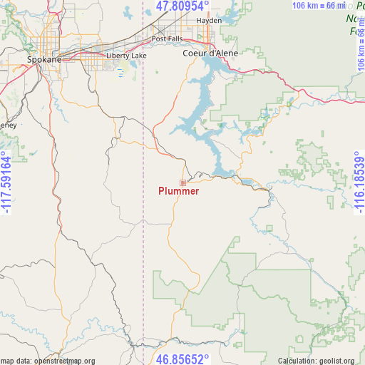
Plummer GPS coordinates[2]
47° 20' 6.648" North, 116° 53' 18.636" West
| Map corner | latitude | longitude |
|---|---|---|
| Upper-left | 47.80954°, | -117.59164° |
| Center: | 47.33518°, | -116.88851° |
| Lower-right: | 46.85652°, | -116.18539° |
| Map W x H: | 106×106 km | = 65.9×65.9mi |
| max Lat: | 71.29058° ⇑2.7% North |
| Plummer: | 47.33518° |
| min Lat: | ⇓97.3% South 19.06759° |
| min Long | Plummer | max Long |
| -171.73463° | -116.88851° | -66.98998° |
| W 10.4%⇐ | ⇒89.6% E |
Elevation
Elevation of Plummer is 830 m = 2723 ft, and this is 535.2 m = 1756 ft above average elevation for this country.
| Max E: |
3189 m = 10463 ft | 7.7% |
| Plummer | 830 m 2723 ft | |
| Avg. | 294.8 m = 967 ft | |
Min E: |
-60 m = -197 ft | 92.3% |
See also: United States elevation on elevation.city.
Geographical zone
Plummer is located in North temperate zone (between Tropic of Cancer and the Arctic Circle). Distance of this North polar circle is 2138 km =1328.5 mi to North.| Distance of | km | miles | from Plummer |
|---|---|---|---|
| North Pole | 4743.9 | 2947.7 | to North |
| Arctic Circle | 2138 | 1328.5 | to North |
| Tropic Cancer | 2657.3 | 1651.2 | to South |
| Equator | 5263.2 | 3270.4 | to South |


Nearby cities:
15 places around Plummer: (largest is in red/bold)
• Coeur d'Alene
38.9 km =24.2 mi,  12°
12°
• Dalton Gardens
44.7 km =27.8 mi, 11°
• Dishman
46.4 km =28.8 mi,  321°
321°
• Fairfield
22 km =13.7 mi,  284°
284°
• Garfield
41.1 km =25.5 mi,  207°
207°
• Liberty Lake
41.6 km =25.8 mi,  335°
335°
• Opportunity
43.8 km =27.2 mi, 322°
• Otis Orchards-East Farms
44.1 km =27.4 mi, 340°
• Post Falls
42.8 km =26.6 mi,  353°
353°
• Potlatch
46 km =28.6 mi,  180°
180°
• Rosalia
37.9 km =23.5 mi,  253°
253°
• Saint Maries
24.7 km =15.3 mi,  95°
95°
• Spokane Valley
45.9 km =28.5 mi, 324°
• Tekoa
18.6 km =11.6 mi,  228°
228°
• Veradale
42.4 km =26.3 mi,  325°
325°
Sources, notices
• [Note1] Compared only with cities in United States existing in our database
• [Src1] Map data: © OpenStreetMap contributors (CC-BY-SA)
• [Src2] Other city data from geonames.org with taken over terms of usage.
• [Src3] Geographical zone / Annual Mean Temperature by Robert A. Rohde @ Wikipedia
