Poplar geodata
Poplar (Montana) is a populated place; located in United States in America/Denver (GMT-6) time zone. With population of 871 people, there are 17188 cities with bigger population in this country. Compared to other cities in United States, 98.8% of cities are located further ↓South; 83.5% of cities are located further →East and 89.7% of cities have lower elevation than Poplar. Note1


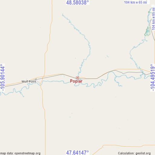
Poplar GPS coordinates[2]
48° 6' 47.052" North, 105° 11' 53.916" West
| Map corner | latitude | longitude |
|---|---|---|
| Upper-left | 48.58038°, | -105.90144° |
| Center: | 48.11307°, | -105.19831° |
| Lower-right: | 47.64147°, | -104.49519° |
| Map W x H: | 104.4×104.4 km | = 64.9×64.9mi |
| max Lat: | 71.29058° ⇑1.2% North |
| Poplar: | 48.11307° |
| min Lat: | ⇓98.8% South 19.06759° |
| min Long | Poplar | max Long |
| -171.73463° | -105.19831° | -66.98998° |
| W 16.5%⇐ | ⇒83.5% E |
Elevation
Elevation of Poplar is 605 m = 1985 ft, and this is 310.2 m = 1018 ft above average elevation for this country.
| Max E: |
3189 m = 10463 ft | 10.3% |
| Poplar | 605 m 1985 ft | |
| Avg. | 294.8 m = 967 ft | |
Min E: |
-60 m = -197 ft | 89.7% |
See also: United States elevation on elevation.city.
Geographical zone
Poplar is located in North temperate zone (between Tropic of Cancer and the Arctic Circle). Distance of this North polar circle is 2051.5 km =1274.7 mi to North.| Distance of | km | miles | from Poplar |
|---|---|---|---|
| North Pole | 4657.4 | 2894 | to North |
| Arctic Circle | 2051.5 | 1274.7 | to North |
| Tropic Cancer | 2743.8 | 1704.9 | to South |
| Equator | 5349.7 | 3324.1 | to South |


Nearby cities:
15 places around Poplar: (largest is in red/bold)
• Circle
82.8 km =51.4 mi,  200°
200°
• Culbertson
50.7 km =31.5 mi,  86°
86°
• Fairview
90.5 km =56.2 mi,  108°
108°
• Glasgow
107.1 km =66.5 mi,  274°
274°
• Glendive
117.8 km =73.2 mi,  161°
161°
• Plentywood
87.2 km =54.2 mi,  32°
32°
• Ray
152.8 km =94.9 mi,  80°
80°
• Scobey
77.3 km =48 mi,  347°
347°
• Sidney
89.3 km =55.5 mi,  119°
119°
• Terry
147 km =91.3 mi,  183°
183°
• Watford City
146.7 km =91.2 mi,  103°
103°
• West Glendive
116.4 km =72.3 mi, 163°
• Wibaux
146.6 km =91.1 mi,  148°
148°
• Williston
117.3 km =72.9 mi, 88°
• Wolf Point
32.9 km =20.4 mi, 265°
Sources, notices
• [Note1] Compared only with cities in United States existing in our database
• [Src1] Map data: © OpenStreetMap contributors (CC-BY-SA)
• [Src2] Other city data from geonames.org with taken over terms of usage.
• [Src3] Geographical zone / Annual Mean Temperature by Robert A. Rohde @ Wikipedia
