Gothenburg geodata
Gothenburg (Nebraska) is a populated place; located in United States in America/Chicago (GMT-5) time zone. With population of 3,514 people, there are 8842 cities with bigger population in this country. Compared to other cities in United States, 65.1% of cities are located further ↓South; 80.8% of cities are located further →East and 91.9% of cities have lower elevation than Gothenburg. Note1


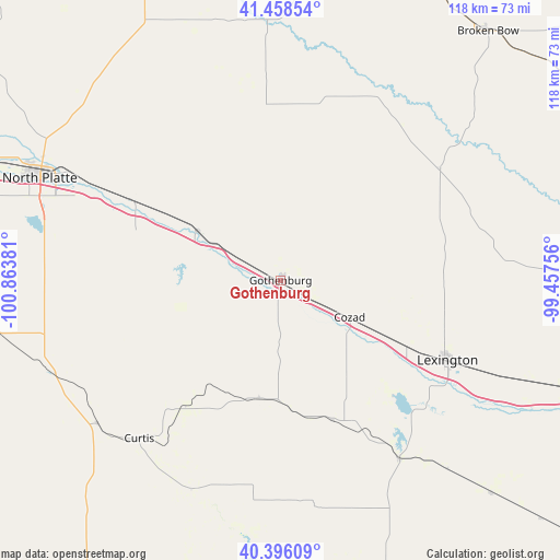
Gothenburg GPS coordinates[2]
40° 55' 46.02" North, 100° 9' 38.448" West
| Map corner | latitude | longitude |
|---|---|---|
| Upper-left | 41.45854°, | -100.86381° |
| Center: | 40.92945°, | -100.16068° |
| Lower-right: | 40.39609°, | -99.45756° |
| Map W x H: | 118.1×118.1 km | = 73.4×73.4mi |
| max Lat: | 71.29058° ⇑34.9% North |
| Gothenburg: | 40.92945° |
| min Lat: | ⇓65.1% South 19.06759° |
| min Long | Gothenburg | max Long |
| -171.73463° | -100.16068° | -66.98998° |
| W 19.2%⇐ | ⇒80.8% E |
Elevation
Elevation of Gothenburg is 786 m = 2579 ft, and this is 491.2 m = 1612 ft above average elevation for this country.
| Max E: |
3189 m = 10463 ft | 8.1% |
| Gothenburg | 786 m 2579 ft | |
| Avg. | 294.8 m = 967 ft | |
Min E: |
-60 m = -197 ft | 91.9% |
See also: United States elevation on elevation.city.
Geographical zone
Gothenburg is located in North temperate zone (between Tropic of Cancer and the Arctic Circle). Distance of this Northern Tropic circle is 1945 km =1208.6 mi to South.| Distance of | km | miles | from Gothenburg |
|---|---|---|---|
| North Pole | 5456.1 | 3390.3 | to North |
| Arctic Circle | 2850.2 | 1771 | to North |
| Tropic Cancer | 1945 | 1208.6 | to South |
| Equator | 4550.9 | 2827.8 | to South |


Nearby cities:
15 places around Gothenburg: (largest is in red/bold)
• Arapahoe
72.9 km =45.3 mi,  162°
162°
• Arnold
54.9 km =34.1 mi,  357°
357°
• Bertrand
63.1 km =39.2 mi,  135°
135°
• Broken Bow
68.3 km =42.4 mi,  39°
39°
• Callaway
45 km =28 mi,  26°
26°
• Cambridge
72 km =44.7 mi,  180°
180°
• Cozad
16.5 km =10.3 mi,  118°
118°
• Curtis
44.7 km =27.8 mi,  221°
221°
• Elm Creek
70.3 km =43.7 mi,  109°
109°
• Elwood
45.4 km =28.2 mi,  146°
146°
• Lexington
38.9 km =24.2 mi, 115°
• North Platte
55.1 km =34.2 mi,  293°
293°
• Overton
56.5 km =35.1 mi, 112°
• Stapleton
68 km =42.3 mi,  334°
334°
• Stockville
47.9 km =29.8 mi,  203°
203°
Sources, notices
• [Note1] Compared only with cities in United States existing in our database
• [Src1] Map data: © OpenStreetMap contributors (CC-BY-SA)
• [Src2] Other city data from geonames.org with taken over terms of usage.
• [Src3] Geographical zone / Annual Mean Temperature by Robert A. Rohde @ Wikipedia
