Detroit-Shoreway geodata
Detroit-Shoreway (Ohio) is a populated place; located in United States in America/New_York (GMT-4) time zone. With population of 17,382 people, there are 2858 cities with bigger population in this country. Compared to other cities in United States, 70.6% of cities are located further ↓South; 66.6% of cities are located further ←West and 52.5% of cities have lower elevation than Detroit-Shoreway. Note1


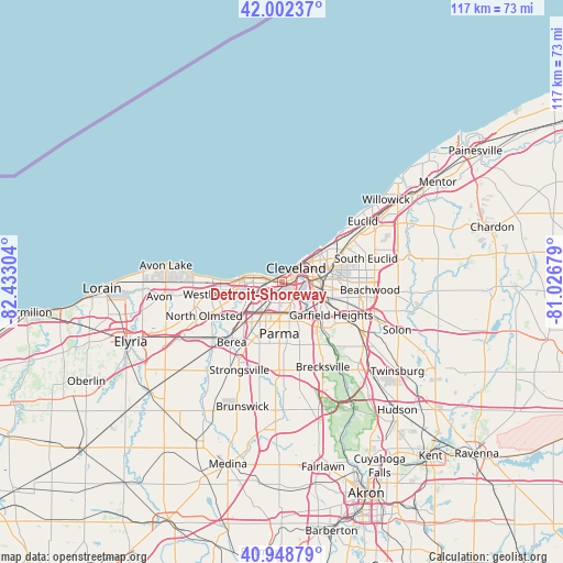
Detroit-Shoreway GPS coordinates[2]
41° 28' 39.792" North, 81° 43' 47.676" West
| Map corner | latitude | longitude |
|---|---|---|
| Upper-left | 42.00237°, | -82.43304° |
| Center: | 41.47772°, | -81.72991° |
| Lower-right: | 40.94879°, | -81.02679° |
| Map W x H: | 117.1×117.1 km | = 72.8×72.8mi |
| max Lat: | 71.29058° ⇑29.4% North |
| Detroit-Shoreway: | 41.47772° |
| min Lat: | ⇓70.6% South 19.06759° |
| min Long | Detroit-Shorewa | max Long |
| -171.73463° | -81.72991° | -66.98998° |
| W 66.6%⇐ | ⇒33.4% E |
Elevation
Elevation of Detroit-Shoreway is 208 m = 682 ft, and this is 86.8 m = 285 ft below average elevation for this country.
| Max E: |
3189 m = 10463 ft | 47.5% |
| Avg. | 294.8 m = 967 ft | |
| Detroit-Shoreway | 208 m = 682 ft | |
Min E: |
-60 m = -197 ft | 52.5% |
See also: United States elevation on elevation.city.
Geographical zone
Detroit-Shoreway is located in North temperate zone (between Tropic of Cancer and the Arctic Circle). Distance of this Northern Tropic circle is 2006 km =1246.5 mi to South.| Distance of | km | miles | from Detroit-Shoreway |
|---|---|---|---|
| North Pole | 5395.2 | 3352.4 | to North |
| Arctic Circle | 2789.3 | 1733.2 | to North |
| Tropic Cancer | 2006 | 1246.5 | to South |
| Equator | 4611.9 | 2865.7 | to South |


Nearby cities:
15 places around Detroit-Shoreway: (largest is in red/bold)
• Bratenahl
11.2 km =7 mi,  50°
50°
• Brook Park
10.8 km =6.7 mi,  215°
215°
• Brooklyn
4.2 km =2.6 mi,  186°
186°
• Brooklyn Heights
6.8 km =4.2 mi,  149°
149°
• Clark-Fulton
2.3 km =1.4 mi,  132°
132°
• Cleveland
3.8 km =2.4 mi, 49°
• Cuyahoga Heights
7.7 km =4.8 mi, 127°
• Hough
8.7 km =5.4 mi,  63°
63°
• Lakewood
5.7 km =3.5 mi,  274°
274°
• Newburgh Heights
6.3 km =3.9 mi,  119°
119°
• Ohio City
1.7 km =1.1 mi,  65°
65°
• Parma
8.1 km =5 mi,  175°
175°
• Parma Heights
10.1 km =6.3 mi, 194°
• Rocky River
9.1 km =5.7 mi, 268°
• Seven Hills
10.2 km =6.3 mi, 153°
Sources, notices
• [Note1] Compared only with cities in United States existing in our database
• [Src1] Map data: © OpenStreetMap contributors (CC-BY-SA)
• [Src2] Other city data from geonames.org with taken over terms of usage.
• [Src3] Geographical zone / Annual Mean Temperature by Robert A. Rohde @ Wikipedia
