La Esmeralda geodata
La Esmeralda (Amazonas) is a seat of a second-order administrative division; located in Venezuela in America/Caracas (GMT-4) time zone. In our database, there are 108 cities with bigger population. Compared to other cities in Venezuela, 99.5% of cities are located further ↑North; 80.7% of cities are located further ←West and 69% of cities have higher elevation than La Esmeralda. Note1


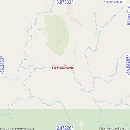
La Esmeralda GPS coordinates[2]
3° 10' 28.308" North, 65° 32' 42.612" West
| Map corner | latitude | longitude |
|---|---|---|
| Upper-left | 3.87632°, | -66.2483° |
| Center: | 3.17453°, | -65.54517° |
| Lower-right: | 2.47226°, | -64.84205° |
| Map W x H: | 156.1×156.1 km | = 97×97mi |
| max Lat: | 11.94788° ⇑99.5% North |
| La Esmeralda: | 3.17453° |
| min Lat: | ⇓0.5% South 1.92027° |
| min Long | La Esmeralda | max Long |
| -72.55212° | -65.54517° | -60.99778° |
| W 80.7%⇐ | ⇒19.3% E |
Elevation
Elevation of La Esmeralda is 89 m = 292 ft, and this is 291.6 m = 957 ft below average elevation for this country.
| Max E: |
2986 m = 9797 ft | 69% |
| Avg. | 380.6 m = 1249 ft | |
| La Esmeralda | 89 m = 292 ft | |
Min E: |
-4 m = -13 ft | 31% |
See also: Venezuela elevation on elevation.city.
Geographical zone
La Esmeralda is located in North Torrid zone (between Equator and Tropic of Cancer). Distance of Equator is 353 km =219.3 mi to South.| Distance of | km | miles | from La Esmeralda |
|---|---|---|---|
| North Pole | 9654.1 | 5998.8 | to North |
| Arctic Circle | 7048.2 | 4379.5 | to North |
| Tropic Cancer | 2252.9 | 1399.9 | to North |
| Equator | 353 | 219.3 | to South |


Nearby cities:
6 places around La Esmeralda: (largest is in red/bold)
• Isla Ratón
328 km =203.8 mi,  309°
309°
• Maroa
229.4 km =142.5 mi,  257°
257°
• Puerto Ayacucho
357 km =221.8 mi,  320°
320°
• San Carlos de Río Negro
218.6 km =135.8 mi,  230°
230°
• San Fernando de Atabapo
257.9 km =160.3 mi,  292°
292°
• San Juan de Manapiare
245.9 km =152.8 mi,  346°
346°
Sources, notices
• [Note1] Compared only with cities in Venezuela existing in our database
• [Src1] Map data: © OpenStreetMap contributors (CC-BY-SA)
• [Src2] Other city data from geonames.org with taken over terms of usage.
• [Src3] Geographical zone / Annual Mean Temperature by Robert A. Rohde @ Wikipedia
