Dương Đông geodata
Dương Đông (Kiến Giang) is a populated place; located in Vietnam in Asia/Ho_Chi_Minh (GMT+7) time zone. With population of 15,000 people, there are 86 cities with bigger population in this country. Compared to other cities in Vietnam, 89.4% of cities are located further ↑North; 96.4% of cities are located further →East and 71.9% of cities have higher elevation than Dương Đông. Note1


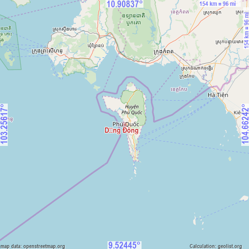
Dương Đông GPS coordinates[2]
10° 13' 1.776" North, 103° 57' 33.444" East
| Map corner | latitude | longitude |
|---|---|---|
| Upper-left | 10.90837°, | 103.25617° |
| Center: | 10.21716°, | 103.95929° |
| Lower-right: | 9.52445°, | 104.66242° |
| Map W x H: | 153.9×153.9 km | = 95.6×95.6mi |
| max Lat: | 23.27841° ⇑89.4% North |
| Dương Đông: | 10.21716° |
| min Lat: | ⇓10.6% South 8.65724° |
| min Long | Dương Đông | max Long |
| 102.4579° | 103.95929° | 112.72541° |
| W 3.6%⇐ | ⇒96.4% E |
Elevation
Elevation of Dương Đông is 8 m = 26 ft, and this is 121.5 m = 399 ft below average elevation for this country.
| Max E: |
1592 m = 5223 ft | 71.9% |
| Avg. | 129.5 m = 425 ft | |
| Dương Đông | 8 m = 26 ft | |
Min E: |
-1 m = -3 ft | 28.1% |
See also: Vietnam elevation on elevation.city.
Geographical zone
Dương Đông is located in North Torrid zone (between Equator and Tropic of Cancer). Distance of Equator is 1136 km =705.9 mi to South.| Distance of | km | miles | from Dương Đông |
|---|---|---|---|
| North Pole | 8871 | 5512.2 | to North |
| Arctic Circle | 6265.1 | 3893 | to North |
| Tropic Cancer | 1469.9 | 913.4 | to North |
| Equator | 1136 | 705.9 | to South |


Nearby cities:
15 places around Dương Đông: (largest is in red/bold)
• An Biên
128.9 km =80.1 mi,  110°
110°
• An Phú
140.4 km =87.2 mi,  61°
61°
• Cho Dok
137.5 km =85.4 mi,  67°
67°
• Cái Dầu
145.6 km =90.5 mi, 74°
• Hà Tiên
60.7 km =37.7 mi, 72°
• Kiên Lương
75.5 km =46.9 mi,  84°
84°
• Minh Lương
136 km =84.5 mi,  104°
104°
• Ngoc Hon Doc
106.2 km =66 mi,  91°
91°
• Nhà Bàng
123.4 km =76.7 mi, 68°
• Núi Sập
143.2 km =89 mi, 87°
• Rạch Giá
124.9 km =77.6 mi, 100°
• Thứ Mười Một
127.4 km =79.2 mi,  121°
121°
• Tri Tôn
116.1 km =72.1 mi, 78°
• Tân Hiệp
145.6 km =90.5 mi, 94°
• U Minh
142.6 km =88.6 mi,  128°
128°
Sources, notices
• [Note1] Compared only with cities in Vietnam existing in our database
• [Src1] Map data: © OpenStreetMap contributors (CC-BY-SA)
• [Src2] Other city data from geonames.org with taken over terms of usage.
• [Src3] Geographical zone / Annual Mean Temperature by Robert A. Rohde @ Wikipedia
