Mỹ Xuyên geodata
Mỹ Xuyên (Sóc Trăng) is a seat of a second-order administrative division; located in Vietnam in Asia/Ho_Chi_Minh (GMT+7) time zone. In our database, there are 94 cities with bigger population. Compared to other cities in Vietnam, 97.1% of cities are located further ↑North; 55.1% of cities are located further →East and 87.1% of cities have higher elevation than Mỹ Xuyên. Note1


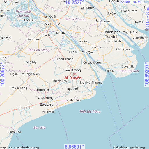
Mỹ Xuyên GPS coordinates[2]
9° 33' 36.216" North, 105° 59' 23.424" East
| Map corner | latitude | longitude |
|---|---|---|
| Upper-left | 10.2527°, | 105.28672° |
| Center: | 9.56006°, | 105.98984° |
| Lower-right: | 8.86601°, | 106.69297° |
| Map W x H: | 154.2×154.2 km | = 95.8×95.8mi |
| max Lat: | 23.27841° ⇑97.1% North |
| Mỹ Xuyên: | 9.56006° |
| min Lat: | ⇓2.9% South 8.65724° |
| min Long | Mỹ Xuyên | max Long |
| 102.4579° | 105.98984° | 112.72541° |
| W 44.9%⇐ | ⇒55.1% E |
Elevation
Elevation of Mỹ Xuyên is 5 m = 16 ft, and this is 124.5 m = 408 ft below average elevation for this country.
| Max E: |
1592 m = 5223 ft | 87.1% |
| Avg. | 129.5 m = 425 ft | |
| Mỹ Xuyên | 5 m = 16 ft | |
Min E: |
-1 m = -3 ft | 12.9% |
See also: Vietnam elevation on elevation.city.
Geographical zone
Mỹ Xuyên is located in North Torrid zone (between Equator and Tropic of Cancer). Distance of Equator is 1063 km =660.5 mi to South.| Distance of | km | miles | from Mỹ Xuyên |
|---|---|---|---|
| North Pole | 8944.1 | 5557.6 | to North |
| Arctic Circle | 6338.2 | 3938.4 | to North |
| Tropic Cancer | 1542.9 | 958.7 | to North |
| Equator | 1063 | 660.5 | to South |


Nearby cities:
15 places around Mỹ Xuyên: (largest is in red/bold)
• Bạc Liêu
41.2 km =25.6 mi,  224°
224°
• Châu Thành
18.4 km =11.4 mi,  328°
328°
• Cù Lao Dung
21.5 km =13.4 mi,  54°
54°
• Cầu Kè
35.5 km =22.1 mi,  11°
11°
• Huỳnh Hữu Nghĩa
21.3 km =13.2 mi,  293°
293°
• Kế Sách
23.1 km =14.4 mi,  358°
358°
• Long Phú
15.2 km =9.4 mi,  68°
68°
• Ngã Bảy
33.7 km =20.9 mi, 326°
• Ngã Sáu
45.1 km =28 mi, 333°
• Phú Lộc
31 km =19.3 mi,  241°
241°
• Phụng Hiệp
37.2 km =23.1 mi,  311°
311°
• Sóc Trăng
4.9 km =3 mi,  336°
336°
• Tiểu Cần
35.6 km =22.1 mi,  38°
38°
• Trà Cú
33.2 km =20.6 mi,  62°
62°
• Vĩnh Châu
26.2 km =16.3 mi,  182°
182°
Sources, notices
• [Note1] Compared only with cities in Vietnam existing in our database
• [Src1] Map data: © OpenStreetMap contributors (CC-BY-SA)
• [Src2] Other city data from geonames.org with taken over terms of usage.
• [Src3] Geographical zone / Annual Mean Temperature by Robert A. Rohde @ Wikipedia
