Mộc Châu geodata
Mộc Châu (Sơn La) is a seat of a second-order administrative division; located in Vietnam in Asia/Ho_Chi_Minh (GMT+7) time zone. In our database, there are 94 cities with bigger population. Compared to other cities in Vietnam, 69.8% of cities are located further ↓South; 93.1% of cities are located further →East and 96.2% of cities have lower elevation than Mộc Châu. Note1


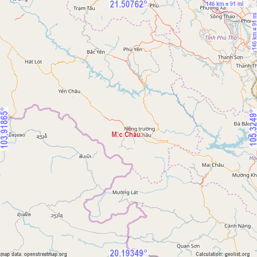
Mộc Châu GPS coordinates[2]
20° 51' 7.164" North, 104° 37' 18.372" East
| Map corner | latitude | longitude |
|---|---|---|
| Upper-left | 21.50762°, | 103.91865° |
| Center: | 20.85199°, | 104.62177° |
| Lower-right: | 20.19349°, | 105.3249° |
| Map W x H: | 146.1×146.1 km | = 90.8×90.8mi |
| max Lat: | 23.27841° ⇑30.2% North |
| Mộc Châu: | 20.85199° |
| min Lat: | ⇓69.8% South 8.65724° |
| min Long | Mộc Châu | max Long |
| 102.4579° | 104.62177° | 112.72541° |
| W 6.9%⇐ | ⇒93.1% E |
Elevation
Elevation of Mộc Châu is 814 m = 2671 ft, and this is 684.5 m = 2246 ft above average elevation for this country.
| Max E: |
1592 m = 5223 ft | 3.8% |
| Mộc Châu | 814 m 2671 ft | |
| Avg. | 129.5 m = 425 ft | |
Min E: |
-1 m = -3 ft | 96.2% |
See also: Vietnam elevation on elevation.city.
Geographical zone
Mộc Châu is located in North Torrid zone (between Equator and Tropic of Cancer). Distance of this Northern Tropic circle is 287.4 km =178.6 mi to North.| Distance of | km | miles | from Mộc Châu |
|---|---|---|---|
| North Pole | 7688.5 | 4777.4 | to North |
| Arctic Circle | 5082.7 | 3158.2 | to North |
| Tropic Cancer | 287.4 | 178.6 | to North |
| Equator | 2318.5 | 1440.6 | to South |


Nearby cities:
15 places around Mộc Châu: (largest is in red/bold)
• Bắc Yên
48 km =29.8 mi,  335°
335°
• Cao Phong
74.5 km =46.3 mi,  102°
102°
• Hát Lót
65.9 km =40.9 mi,  305°
305°
• Hòa Bình
74.5 km =46.3 mi,  92°
92°
• Kỳ Sơn
76 km =47.2 mi, 87°
• Mường Khến
73.3 km =45.5 mi,  111°
111°
• Mường Lát
36 km =22.4 mi,  183°
183°
• Phù Yên
45.8 km =28.5 mi,  2°
2°
• Quan Hóa
72 km =44.7 mi,  136°
136°
• Quan Sơn
74 km =46 mi,  152°
152°
• Thanh Sơn
69.5 km =43.2 mi,  56°
56°
• Thị Trấn Trạm Tấu
72.8 km =45.2 mi, 339°
• Yên Châu
39.7 km =24.7 mi,  302°
302°
• Yên Lập
71.2 km =44.2 mi,  39°
39°
• Đà Bắc
65.8 km =40.9 mi, 87°
Sources, notices
• [Note1] Compared only with cities in Vietnam existing in our database
• [Src1] Map data: © OpenStreetMap contributors (CC-BY-SA)
• [Src2] Other city data from geonames.org with taken over terms of usage.
• [Src3] Geographical zone / Annual Mean Temperature by Robert A. Rohde @ Wikipedia
