Gjepalaj geodata
Gjepalaj (Durrës) is a seat of a third-order administrative division; located in Albania in Europe/Tirane (GMT+2) time zone. In our database, there are 71 cities with bigger population. Compared to other cities in Albania, 63.4% of cities are located further ↓South; 89.6% of cities are located further →East and 71.3% of cities have higher elevation than Gjepalaj. Note1


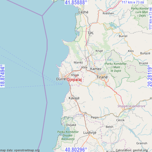
Gjepalaj GPS coordinates[2]
41° 19' 59.016" North, 19° 34' 41.016" East
| Map corner | latitude | longitude |
|---|---|---|
| Upper-left | 41.85888°, | 18.87494° |
| Center: | 41.33306°, | 19.57806° |
| Lower-right: | 40.80296°, | 20.28119° |
| Map W x H: | 117.4×117.4 km | = 72.9×72.9mi |
| max Lat: | 42.45139° ⇑36.6% North |
| Gjepalaj: | 41.33306° |
| min Lat: | ⇓63.4% South 39.65889° |
| min Long | Gjepalaj | max Long |
| 19.40556° | 19.57806° | 20.99° |
| W 10.4%⇐ | ⇒89.6% E |
Elevation
Elevation of Gjepalaj is 69 m = 226 ft, and this is 305.6 m = 1003 ft below average elevation for this country.
| Max E: |
1352 m = 4436 ft | 71.3% |
| Avg. | 374.6 m = 1229 ft | |
| Gjepalaj | 69 m = 226 ft | |
Min E: |
-2 m = -7 ft | 28.7% |
See also: Albania elevation on elevation.city.
Geographical zone
Gjepalaj is located in North temperate zone (between Tropic of Cancer and the Arctic Circle). Distance of this Northern Tropic circle is 1989.9 km =1236.5 mi to South.| Distance of | km | miles | from Gjepalaj |
|---|---|---|---|
| North Pole | 5411.3 | 3362.4 | to North |
| Arctic Circle | 2805.4 | 1743.2 | to North |
| Tropic Cancer | 1989.9 | 1236.5 | to South |
| Equator | 4595.8 | 2855.7 | to South |


Nearby cities:
15 places around Gjepalaj: (largest is in red/bold)
• Bërxull
10.5 km =6.5 mi,  60°
60°
• Durrës
10.4 km =6.5 mi,  264°
264°
• Golem
10.4 km =6.5 mi,  200°
200°
• Kashar
11.2 km =7 mi,  80°
80°
• Katundi i Ri
9.3 km =5.8 mi,  327°
327°
• Maminas
5.7 km =3.5 mi,  25°
25°
• Manzë
10.7 km =6.6 mi,  6°
6°
• Ndroq
10.1 km =6.3 mi,  139°
139°
• Prezë
13.1 km =8.1 mi,  37°
37°
• Rrashbull
5.8 km =3.6 mi, 258°
• Shijak
1.7 km =1.1 mi, 326°
• Sukth
6.3 km =3.9 mi, 327°
• Vaqarr
14.4 km =8.9 mi,  105°
105°
• Vorë
9.1 km =5.7 mi, 44°
• Xhafzotaj
2.8 km =1.7 mi,  296°
296°
Sources, notices
• [Note1] Compared only with cities in Albania existing in our database
• [Src1] Map data: © OpenStreetMap contributors (CC-BY-SA)
• [Src2] Other city data from geonames.org with taken over terms of usage.
• [Src3] Geographical zone / Annual Mean Temperature by Robert A. Rohde @ Wikipedia
