Sarigyugh geodata
Sarigyugh (Tavush) is a populated place; located in Armenia in Asia/Yerevan (GMT+4) time zone. With population of 1,096 people, there are 288 cities with bigger population in this country. Compared to other cities in Armenia, 95.5% of cities are located further ↓South; 79.6% of cities are located further ←West and 93.6% of cities have higher elevation than Sarigyugh. Note1


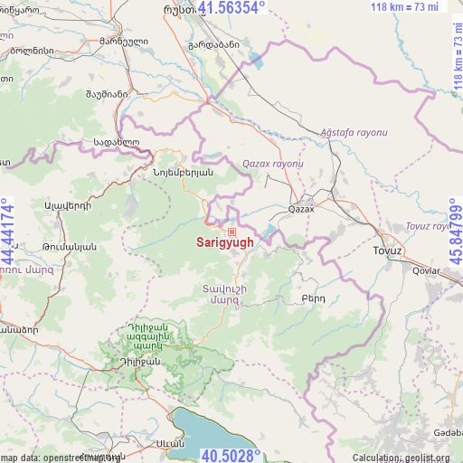
Sarigyugh GPS coordinates[2]
41° 2' 7.116" North, 45° 8' 41.496" East
| Map corner | latitude | longitude |
|---|---|---|
| Upper-left | 41.56354°, | 44.44174° |
| Center: | 41.03531°, | 45.14486° |
| Lower-right: | 40.5028°, | 45.84799° |
| Map W x H: | 117.9×117.9 km | = 73.3×73.3mi |
| max Lat: | 41.24358° ⇑4.5% North |
| Sarigyugh: | 41.03531° |
| min Lat: | ⇓95.5% South 38.90292° |
| min Long | Sarigyugh | max Long |
| 43.74722° | 45.14486° | 46.5446° |
| W 79.6%⇐ | ⇒20.4% E |
Elevation
Elevation of Sarigyugh is 828 m = 2717 ft, and this is 473.5 m = 1553 ft below average elevation for this country.
| Max E: |
2169 m = 7116 ft | 93.6% |
| Avg. | 1301.5 m = 4270 ft | |
| Sarigyugh | 828 m = 2717 ft | |
Min E: |
440 m = 1444 ft | 6.4% |
See also: Armenia elevation on elevation.city.
Geographical zone
Sarigyugh is located in North temperate zone (between Tropic of Cancer and the Arctic Circle). Distance of this Northern Tropic circle is 1956.8 km =1215.9 mi to South.| Distance of | km | miles | from Sarigyugh |
|---|---|---|---|
| North Pole | 5444.4 | 3383 | to North |
| Arctic Circle | 2838.5 | 1763.8 | to North |
| Tropic Cancer | 1956.8 | 1215.9 | to South |
| Equator | 4562.7 | 2835.1 | to South |


Nearby cities:
15 places around Sarigyugh: (largest is in red/bold)
• Archis
26.6 km =16.5 mi,  302°
302°
• Aygehovit
10.8 km =6.7 mi,  125°
125°
• Azatamut
6.8 km =4.2 mi,  150°
150°
• Berd
26.7 km =16.6 mi, 129°
• Berdavan
22.5 km =14 mi,  327°
327°
• Chochkan
30.8 km =19.1 mi, 301°
• Haghartsin
32.4 km =20.1 mi,  207°
207°
• Ijevan
17.4 km =10.8 mi,  178°
178°
• Khasht’arrak
11.4 km =7.1 mi,  164°
164°
• Mosesgegh
32.3 km =20.1 mi,  116°
116°
• Navur
25 km =15.5 mi,  138°
138°
• Noyemberyan
19.5 km =12.1 mi,  321°
321°
• Parravak’ar
19.5 km =12.1 mi,  107°
107°
• Shnogh
28.4 km =17.6 mi, 295°
• Voskevan
11.7 km =7.3 mi, 324°
Sources, notices
• [Note1] Compared only with cities in Armenia existing in our database
• [Src1] Map data: © OpenStreetMap contributors (CC-BY-SA)
• [Src2] Other city data from geonames.org with taken over terms of usage.
• [Src3] Geographical zone / Annual Mean Temperature by Robert A. Rohde @ Wikipedia
