Berd geodata
Berd (Tavush) is a populated place; located in Armenia in Asia/Yerevan (GMT+4) time zone. With population of 8,374 people, there are 26 cities with bigger population in this country. Compared to other cities in Armenia, 90.4% of cities are located further ↓South; 90.1% of cities are located further ←West and 60.5% of cities have higher elevation than Berd. Note1


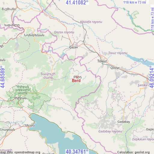
Berd GPS coordinates[2]
40° 52' 52.86" North, 45° 23' 20.436" East
| Map corner | latitude | longitude |
|---|---|---|
| Upper-left | 41.41082°, | 44.68589° |
| Center: | 40.88135°, | 45.38901° |
| Lower-right: | 40.34761°, | 46.09214° |
| Map W x H: | 118.2×118.2 km | = 73.4×73.4mi |
| max Lat: | 41.24358° ⇑9.6% North |
| Berd: | 40.88135° |
| min Lat: | ⇓90.4% South 38.90292° |
| min Long | Berd | max Long |
| 43.74722° | 45.38901° | 46.5446° |
| W 90.1%⇐ | ⇒9.9% E |
Elevation
Elevation of Berd is 949 m = 3114 ft, and this is 352.5 m = 1156 ft below average elevation for this country.
| Max E: |
2169 m = 7116 ft | 60.5% |
| Avg. | 1301.5 m = 4270 ft | |
| Berd | 949 m = 3114 ft | |
Min E: |
440 m = 1444 ft | 39.5% |
See also: Armenia elevation on elevation.city.
Geographical zone
Berd is located in North temperate zone (between Tropic of Cancer and the Arctic Circle). Distance of this Northern Tropic circle is 1939.7 km =1205.3 mi to South.| Distance of | km | miles | from Berd |
|---|---|---|---|
| North Pole | 5461.5 | 3393.6 | to North |
| Arctic Circle | 2855.6 | 1774.4 | to North |
| Tropic Cancer | 1939.7 | 1205.3 | to South |
| Equator | 4545.6 | 2824.5 | to South |


Nearby cities:
15 places around Berd: (largest is in red/bold)
• Artsvaberd
8.3 km =5.2 mi,  124°
124°
• Aygehovit
16 km =9.9 mi,  313°
313°
• Aygut
28.4 km =17.6 mi,  219°
219°
• Azatamut
20.4 km =12.7 mi,  303°
303°
• Chambarak
31.8 km =19.8 mi,  185°
185°
• Drakhtik
37.4 km =23.2 mi,  200°
200°
• Gosh
36.8 km =22.9 mi,  242°
242°
• Haghartsin
37.3 km =23.2 mi,  251°
251°
• Ijevan
20.2 km =12.6 mi,  269°
269°
• Khasht’arrak
18.4 km =11.4 mi,  289°
289°
• Mosesgegh
8.8 km =5.5 mi,  72°
72°
• Navur
4.3 km =2.7 mi, 248°
• Parravak’ar
11.4 km =7.1 mi,  350°
350°
• Sarigyugh
26.7 km =16.6 mi, 309°
• Vahan
34 km =21.1 mi,  178°
178°
Sources, notices
• [Note1] Compared only with cities in Armenia existing in our database
• [Src1] Map data: © OpenStreetMap contributors (CC-BY-SA)
• [Src2] Other city data from geonames.org with taken over terms of usage.
• [Src3] Geographical zone / Annual Mean Temperature by Robert A. Rohde @ Wikipedia
