Voskevan geodata
Voskevan (Tavush) is a populated place; located in Armenia in Asia/Yerevan (GMT+4) time zone. With population of 1,287 people, there are 250 cities with bigger population in this country. Compared to other cities in Armenia, 97.1% of cities are located further ↓South; 77.7% of cities are located further ←West and 61.5% of cities have higher elevation than Voskevan. Note1


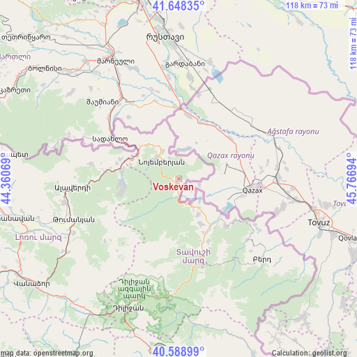
Voskevan GPS coordinates[2]
41° 7' 14.916" North, 45° 3' 49.716" East
| Map corner | latitude | longitude |
|---|---|---|
| Upper-left | 41.64835°, | 44.36069° |
| Center: | 41.12081°, | 45.06381° |
| Lower-right: | 40.58899°, | 45.76694° |
| Map W x H: | 117.8×117.8 km | = 73.2×73.2mi |
| max Lat: | 41.24358° ⇑2.9% North |
| Voskevan: | 41.12081° |
| min Lat: | ⇓97.1% South 38.90292° |
| min Long | Voskevan | max Long |
| 43.74722° | 45.06381° | 46.5446° |
| W 77.7%⇐ | ⇒22.3% E |
Elevation
Elevation of Voskevan is 946 m = 3104 ft, and this is 355.5 m = 1166 ft below average elevation for this country.
| Max E: |
2169 m = 7116 ft | 61.5% |
| Avg. | 1301.5 m = 4270 ft | |
| Voskevan | 946 m = 3104 ft | |
Min E: |
440 m = 1444 ft | 38.5% |
See also: Armenia elevation on elevation.city.
Geographical zone
Voskevan is located in North temperate zone (between Tropic of Cancer and the Arctic Circle). Distance of this Northern Tropic circle is 1966.3 km =1221.8 mi to South.| Distance of | km | miles | from Voskevan |
|---|---|---|---|
| North Pole | 5434.9 | 3377.1 | to North |
| Arctic Circle | 2829 | 1757.9 | to North |
| Tropic Cancer | 1966.3 | 1221.8 | to South |
| Equator | 4572.2 | 2841 | to South |


Nearby cities:
15 places around Voskevan: (largest is in red/bold)
• Akht’ala
26.1 km =16.2 mi,  281°
281°
• Alaverdi
32.8 km =20.4 mi,  265°
265°
• Archis
16.4 km =10.2 mi,  286°
286°
• Aygehovit
22.2 km =13.8 mi,  135°
135°
• Azatamut
18.5 km =11.5 mi,  146°
146°
• Bagratashen
24.7 km =15.3 mi,  303°
303°
• Berdavan
10.8 km =6.7 mi,  330°
330°
• Chochkan
20.5 km =12.7 mi, 289°
• Ijevan
27.8 km =17.3 mi,  165°
165°
• Khasht’arrak
22.8 km =14.2 mi, 154°
• Lorut
31.9 km =19.8 mi,  230°
230°
• Noyemberyan
7.9 km =4.9 mi,  316°
316°
• Parravak’ar
29.7 km =18.5 mi,  121°
121°
• Sarigyugh
11.7 km =7.3 mi, 144°
• Shnogh
18.9 km =11.7 mi, 278°
Sources, notices
• [Note1] Compared only with cities in Armenia existing in our database
• [Src1] Map data: © OpenStreetMap contributors (CC-BY-SA)
• [Src2] Other city data from geonames.org with taken over terms of usage.
• [Src3] Geographical zone / Annual Mean Temperature by Robert A. Rohde @ Wikipedia
