P’shatavan geodata
P’shatavan (Armavir) is a populated place; located in Armenia in Asia/Yerevan (GMT+4) time zone. With population of 2,159 people, there are 138 cities with bigger population in this country. Compared to other cities in Armenia, 78% of cities are located further ↑North; 86.3% of cities are located further →East and 76.4% of cities have higher elevation than P’shatavan. Note1


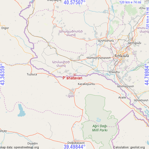
P’shatavan GPS coordinates[2]
40° 2' 19.968" North, 44° 4' 0.156" East
| Map corner | latitude | longitude |
|---|---|---|
| Upper-left | 40.57507°, | 43.36359° |
| Center: | 40.03888°, | 44.06671° |
| Lower-right: | 39.49844°, | 44.76984° |
| Map W x H: | 119.7×119.7 km | = 74.4×74.4mi |
| max Lat: | 41.24358° ⇑78% North |
| P’shatavan: | 40.03888° |
| min Lat: | ⇓22% South 38.90292° |
| min Long | P’shatavan | max Long |
| 43.74722° | 44.06671° | 46.5446° |
| W 13.7%⇐ | ⇒86.3% E |
Elevation
Elevation of P’shatavan is 860 m = 2822 ft, and this is 441.5 m = 1448 ft below average elevation for this country.
| Max E: |
2169 m = 7116 ft | 76.4% |
| Avg. | 1301.5 m = 4270 ft | |
| P’shatavan | 860 m = 2822 ft | |
Min E: |
440 m = 1444 ft | 23.6% |
See also: Armenia elevation on elevation.city.
Geographical zone
P’shatavan is located in North temperate zone (between Tropic of Cancer and the Arctic Circle). Distance of this Northern Tropic circle is 1846 km =1147.1 mi to South.| Distance of | km | miles | from P’shatavan |
|---|---|---|---|
| North Pole | 5555.2 | 3451.8 | to North |
| Arctic Circle | 2949.3 | 1832.6 | to North |
| Tropic Cancer | 1846 | 1147.1 | to South |
| Equator | 4451.9 | 2766.3 | to South |


Nearby cities:
15 places around P’shatavan: (largest is in red/bold)
• Alashkert
7.7 km =4.8 mi,  350°
350°
• Arazap’
6.9 km =4.3 mi,  87°
87°
• Arevik
7.2 km =4.5 mi,  19°
19°
• Argavand
3.4 km =2.1 mi,  43°
43°
• Aygeshat
4.1 km =2.5 mi, 353°
• Bambakashat
8.7 km =5.4 mi,  332°
332°
• Getashen
10.7 km =6.6 mi,  273°
273°
• Janfida
3.4 km =2.1 mi,  280°
280°
• Margara
9.7 km =6 mi, 93°
• Mrgashat
10.3 km =6.4 mi,  6°
6°
• Nalbandyan
7.2 km =4.5 mi,  292°
292°
• Nor Armavir
8.1 km =5 mi,  310°
310°
• Sardarapat
11.4 km =7.1 mi, 334°
• Tandzut
3.5 km =2.2 mi, 15°
• Yeghegnut
10.2 km =6.3 mi,  56°
56°
Sources, notices
• [Note1] Compared only with cities in Armenia existing in our database
• [Src1] Map data: © OpenStreetMap contributors (CC-BY-SA)
• [Src2] Other city data from geonames.org with taken over terms of usage.
• [Src3] Geographical zone / Annual Mean Temperature by Robert A. Rohde @ Wikipedia
