Viedma geodata
Viedma (Rio Negro) is a seat of a first-order administrative division; located in Argentina in America/Argentina/Salta (GMT-3) time zone. With population of 48,940 people, there are 88 cities with bigger population in this country. Compared to other cities in Argentina, 94.7% of cities are located further ↑North; 52.1% of cities are located further →East and 98.7% of cities have higher elevation than Viedma. Note1


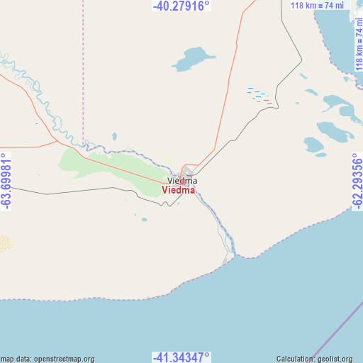
Viedma GPS coordinates[2]
40° 48' 48.42" South, 62° 59' 48.048" West
| Map corner | latitude | longitude |
|---|---|---|
| Upper-left | -40.27916°, | -63.69981° |
| Center: | -40.81345°, | -62.99668° |
| Lower-right: | -41.34347°, | -62.29356° |
| Map W x H: | 118.3×118.3 km | = 73.5×73.5mi |
| max Lat: | -21.94467° ⇑94.7% North |
| Viedma: | -40.81345° |
| min Lat: | ⇓5.3% South -54.81084° |
| min Long | Viedma | max Long |
| -72.88605° | -62.99668° | -53.64581° |
| W 47.9%⇐ | ⇒52.1% E |
Elevation
Elevation of Viedma is 8 m = 26 ft, and this is 341.3 m = 1120 ft below average elevation for this country.
| Max E: |
4040 m = 13255 ft | 98.7% |
| Avg. | 349.3 m = 1146 ft | |
| Viedma | 8 m = 26 ft | |
Min E: |
-2 m = -7 ft | 1.3% |
See also: Viedma elevation on elevation.city.
Geographical zone
Viedma is located in South temperate zone (between Tropic of Capricorn and the Antarctic Circle). Distance of this Southern Tropic circle is 1932.1 km =1200.6 mi to North.| Distance of | km | miles | from Viedma |
|---|---|---|---|
| Equator | 4538 | 2819.8 | to North |
| Tropic Capricorn | 1932.1 | 1200.6 | to North |
| Antarctic Circle | 2863.1 | 1779 | to South |
| South Pole | 5469 | 3398.3 | to South |


Nearby cities:
15 places around Viedma: (largest is in red/bold)
• Bahía Blanca
240.9 km =149.7 mi,  14°
14°
• Carmen de Patagones
2.1 km =1.3 mi,  38°
38°
• Choele Choel
283 km =175.8 mi,  306°
306°
• Coronel Dorrego
274.9 km =170.8 mi,  32°
32°
• General Conesa
146.5 km =91 mi,  302°
302°
• La Adela
223.6 km =138.9 mi,  335°
335°
• Lamarque
277.1 km =172.2 mi, 303°
• Monte Hermoso
250 km =155.3 mi, 35°
• Médanos
222.3 km =138.1 mi, 6°
• Puerto Madryn
275.6 km =171.2 mi,  217°
217°
• Punta Alta
229.4 km =142.5 mi,  20°
20°
• Río Colorado
222.9 km =138.5 mi, 335°
• San Antonio Oeste
164.5 km =102.2 mi,  273°
273°
• Sierra Grande
216.1 km =134.3 mi,  245°
245°
• Valcheta
267.1 km =166 mi, 273°
Sources, notices
• [Note1] Compared only with cities in Argentina existing in our database
• [Src1] Map data: © OpenStreetMap contributors (CC-BY-SA)
• [Src2] Other city data from geonames.org with taken over terms of usage.
• [Src3] Geographical zone / Annual Mean Temperature by Robert A. Rohde @ Wikipedia
