Unión geodata
Unión (San Luis) is a populated place; located in Argentina in America/Argentina/San_Luis (GMT-3) time zone. With population of 2,341 people, there are 601 cities with bigger population in this country. Compared to other cities in Argentina, 78.6% of cities are located further ↑North; 81.7% of cities are located further →East and 72.5% of cities have lower elevation than Unión. Note1


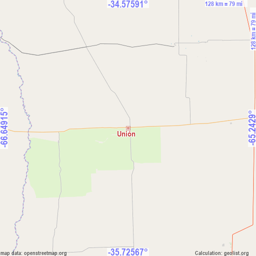
Unión GPS coordinates[2]
35° 9' 10.152" South, 65° 56' 45.672" West
| Map corner | latitude | longitude |
|---|---|---|
| Upper-left | -34.57591°, | -66.64915° |
| Center: | -35.15282°, | -65.94602° |
| Lower-right: | -35.72567°, | -65.2429° |
| Map W x H: | 127.8×127.8 km | = 79.4×79.4mi |
| max Lat: | -21.94467° ⇑78.6% North |
| Unión: | -35.15282° |
| min Lat: | ⇓21.4% South -54.81084° |
| min Long | Unión | max Long |
| -72.88605° | -65.94602° | -53.64581° |
| W 18.3%⇐ | ⇒81.7% E |
Elevation
Elevation of Unión is 378 m = 1240 ft, and this is 28.7 m = 94 ft above average elevation for this country.
| Max E: |
4040 m = 13255 ft | 27.5% |
| Unión | 378 m 1240 ft | |
| Avg. | 349.3 m = 1146 ft | |
Min E: |
-2 m = -7 ft | 72.5% |
See also: Argentina elevation on elevation.city.
Geographical zone
Unión is located in South temperate zone (between Tropic of Capricorn and the Antarctic Circle). Distance of this Southern Tropic circle is 1302.7 km =809.5 mi to North.| Distance of | km | miles | from Unión |
|---|---|---|---|
| Equator | 3908.6 | 2428.7 | to North |
| Tropic Capricorn | 1302.7 | 809.5 | to North |
| Antarctic Circle | 3492.5 | 2170.1 | to South |
| South Pole | 6098.4 | 3789.4 | to South |


Nearby cities:
15 places around Unión: (largest is in red/bold)
• Arata
153.9 km =95.6 mi,  110°
110°
• Buena Esperanza
77 km =47.8 mi,  55°
55°
• Caleufú
135.1 km =83.9 mi, 111°
• Embajador Martini
153.4 km =95.3 mi,  99°
99°
• Huinca Renancó
147.2 km =91.5 mi,  76°
76°
• Ingeniero Luiggi
136.9 km =85.1 mi, 100°
• La Maruja
108 km =67.1 mi,  122°
122°
• Parera
131.4 km =81.6 mi,  89°
89°
• Rancul
115.4 km =71.7 mi, 85°
• Realicó
155.3 km =96.5 mi, 85°
• Santa Isabel
149.6 km =93 mi,  216°
216°
• Telén
129.7 km =80.6 mi,  162°
162°
• Victorica
126.8 km =78.8 mi, 158°
• Villa Huidobro
128.6 km =79.9 mi,  74°
74°
• Villa Valeria
130.1 km =80.8 mi,  46°
46°
Sources, notices
• [Note1] Compared only with cities in Argentina existing in our database
• [Src1] Map data: © OpenStreetMap contributors (CC-BY-SA)
• [Src2] Other city data from geonames.org with taken over terms of usage.
• [Src3] Geographical zone / Annual Mean Temperature by Robert A. Rohde @ Wikipedia
