Telén geodata
Telén (La Pampa) is a populated place; located in Argentina in America/Argentina/Salta (GMT-3) time zone. With population of 1,549 people, there are 692 cities with bigger population in this country. Compared to other cities in Argentina, 82.4% of cities are located further ↑North; 78.3% of cities are located further →East and 67.5% of cities have lower elevation than Telén. Note1


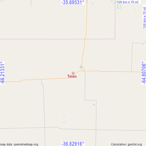
Telén GPS coordinates[2]
36° 15' 51.444" South, 65° 30' 36.648" West
| Map corner | latitude | longitude |
|---|---|---|
| Upper-left | -35.69531°, | -66.21331° |
| Center: | -36.26429°, | -65.51018° |
| Lower-right: | -36.82916°, | -64.80706° |
| Map W x H: | 126.1×126.1 km | = 78.4×78.4mi |
| max Lat: | -21.94467° ⇑82.4% North |
| Telén: | -36.26429° |
| min Lat: | ⇓17.6% South -54.81084° |
| min Long | Telén | max Long |
| -72.88605° | -65.51018° | -53.64581° |
| W 21.7%⇐ | ⇒78.3% E |
Elevation
Elevation of Telén is 303 m = 994 ft, and this is 46.3 m = 152 ft below average elevation for this country.
| Max E: |
4040 m = 13255 ft | 32.5% |
| Avg. | 349.3 m = 1146 ft | |
| Telén | 303 m = 994 ft | |
Min E: |
-2 m = -7 ft | 67.5% |
See also: Argentina elevation on elevation.city.
Geographical zone
Telén is located in South temperate zone (between Tropic of Capricorn and the Antarctic Circle). Distance of this Southern Tropic circle is 1426.3 km =886.3 mi to North.| Distance of | km | miles | from Telén |
|---|---|---|---|
| Equator | 4032.2 | 2505.5 | to North |
| Tropic Capricorn | 1426.3 | 886.3 | to North |
| Antarctic Circle | 3369 | 2093.4 | to South |
| South Pole | 5974.9 | 3712.6 | to South |


Nearby cities:
15 places around Telén: (largest is in red/bold)
• Anguil
137.4 km =85.4 mi,  102°
102°
• Arata
125 km =77.7 mi,  56°
56°
• Ataliva Roca
138.7 km =86.2 mi,  127°
127°
• Caleufú
113.5 km =70.5 mi,  49°
49°
• Eduardo Castex
115.9 km =72 mi,  70°
70°
• Ingeniero Luiggi
135.7 km =84.3 mi,  43°
43°
• La Maruja
83.3 km =51.8 mi, 37°
• Limay Mahuida
143.8 km =89.4 mi,  226°
226°
• Santa Isabel
128.5 km =79.8 mi,  271°
271°
• Santa Rosa
116.5 km =72.4 mi,  109°
109°
• Toay
110.9 km =68.9 mi, 114°
• Trenel
139 km =86.4 mi, 63°
• Unión
129.7 km =80.6 mi,  342°
342°
• Victorica
8.6 km =5.3 mi, 50°
• Winifreda
114.5 km =71.1 mi,  87°
87°
Sources, notices
• [Note1] Compared only with cities in Argentina existing in our database
• [Src1] Map data: © OpenStreetMap contributors (CC-BY-SA)
• [Src2] Other city data from geonames.org with taken over terms of usage.
• [Src3] Geographical zone / Annual Mean Temperature by Robert A. Rohde @ Wikipedia
