Sumampa geodata
Sumampa (Santiago del Estero) is a seat of a second-order administrative division; located in Argentina in America/Argentina/Cordoba (GMT-3) time zone. With population of 4,812 people, there are 449 cities with bigger population in this country. Compared to other cities in Argentina, 66.6% of cities are located further ↓South; 55.6% of cities are located further →East and 63.1% of cities have lower elevation than Sumampa. Note1


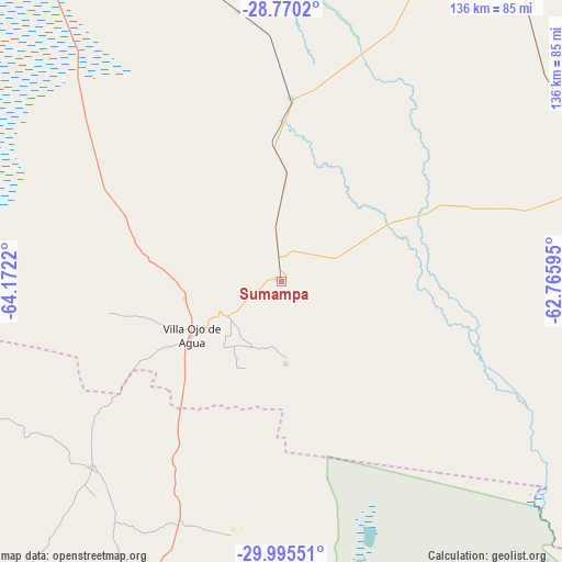
Sumampa GPS coordinates[2]
29° 23' 4.92" South, 63° 28' 8.652" West
| Map corner | latitude | longitude |
|---|---|---|
| Upper-left | -28.7702°, | -64.1722° |
| Center: | -29.3847°, | -63.46907° |
| Lower-right: | -29.99551°, | -62.76595° |
| Map W x H: | 136.2×136.2 km | = 84.6×84.6mi |
| max Lat: | -21.94467° ⇑33.4% North |
| Sumampa: | -29.3847° |
| min Lat: | ⇓66.6% South -54.81084° |
| min Long | Sumampa | max Long |
| -72.88605° | -63.46907° | -53.64581° |
| W 44.4%⇐ | ⇒55.6% E |
Elevation
Elevation of Sumampa is 243 m = 797 ft, and this is 106.3 m = 349 ft below average elevation for this country.
| Max E: |
4040 m = 13255 ft | 36.9% |
| Avg. | 349.3 m = 1146 ft | |
| Sumampa | 243 m = 797 ft | |
Min E: |
-2 m = -7 ft | 63.1% |
See also: Argentina elevation on elevation.city.
Geographical zone
Sumampa is located in South temperate zone (between Tropic of Capricorn and the Antarctic Circle). Distance of this Southern Tropic circle is 661.4 km =411 mi to North.| Distance of | km | miles | from Sumampa |
|---|---|---|---|
| Equator | 3267.3 | 2030.2 | to North |
| Tropic Capricorn | 661.4 | 411 | to North |
| Antarctic Circle | 4133.9 | 2568.7 | to South |
| South Pole | 6739.8 | 4187.9 | to South |


Nearby cities:
15 places around Sumampa: (largest is in red/bold)
• Añatuya
119.9 km =74.5 mi,  30°
30°
• Bandera
129.2 km =80.3 mi,  64°
64°
• Brea Pozo
135.3 km =84.1 mi,  339°
339°
• Colonia Dora
100.8 km =62.6 mi, 30°
• Herrera
107.8 km =67 mi,  21°
21°
• Los Telares
44.5 km =27.7 mi,  2°
2°
• San Francisco del Chañar
64.2 km =39.9 mi,  225°
225°
• San José de la Dormida
117.3 km =72.9 mi,  203°
203°
• Sebastián Elcano
87.2 km =54.2 mi,  187°
187°
• Villa Atamisqui
104.4 km =64.9 mi, 341°
• Villa General Mitre
83.6 km =51.9 mi,  71°
71°
• Villa Ojo de Agua
25.3 km =15.7 mi,  239°
239°
• Villa Tulumba
128.8 km =80 mi,  209°
209°
• Villa Unión
66 km =41 mi,  92°
92°
• Villa de María
62.5 km =38.8 mi, 203°
Sources, notices
• [Note1] Compared only with cities in Argentina existing in our database
• [Src1] Map data: © OpenStreetMap contributors (CC-BY-SA)
• [Src2] Other city data from geonames.org with taken over terms of usage.
• [Src3] Geographical zone / Annual Mean Temperature by Robert A. Rohde @ Wikipedia
