Samuhú geodata
Samuhú (Chaco) is a populated place; located in Argentina in America/Argentina/Cordoba (GMT-3) time zone. With population of 2,223 people, there are 616 cities with bigger population in this country. Compared to other cities in Argentina, 80% of cities are located further ↓South; 65.3% of cities are located further ←West and 72.4% of cities have higher elevation than Samuhú. Note1


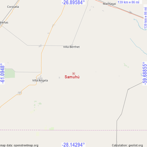
Samuhú GPS coordinates[2]
27° 31' 16.176" South, 60° 23' 30.012" West
| Map corner | latitude | longitude |
|---|---|---|
| Upper-left | -26.89584°, | -61.0948° |
| Center: | -27.52116°, | -60.39167° |
| Lower-right: | -28.14294°, | -59.68855° |
| Map W x H: | 138.7×138.7 km | = 86.2×86.2mi |
| max Lat: | -21.94467° ⇑20% North |
| Samuhú: | -27.52116° |
| min Lat: | ⇓80% South -54.81084° |
| min Long | Samuhú | max Long |
| -72.88605° | -60.39167° | -53.64581° |
| W 65.3%⇐ | ⇒34.7% E |
Elevation
Elevation of Samuhú is 75 m = 246 ft, and this is 274.3 m = 900 ft below average elevation for this country.
| Max E: |
4040 m = 13255 ft | 72.4% |
| Avg. | 349.3 m = 1146 ft | |
| Samuhú | 75 m = 246 ft | |
Min E: |
-2 m = -7 ft | 27.6% |
See also: Argentina elevation on elevation.city.
Geographical zone
Samuhú is located in South temperate zone (between Tropic of Capricorn and the Antarctic Circle). Distance of this Southern Tropic circle is 454.1 km =282.2 mi to North.| Distance of | km | miles | from Samuhú |
|---|---|---|---|
| Equator | 3060.1 | 1901.5 | to North |
| Tropic Capricorn | 454.1 | 282.2 | to North |
| Antarctic Circle | 4341.1 | 2697.4 | to South |
| South Pole | 6947 | 4316.7 | to South |


Nearby cities:
15 places around Samuhú: (largest is in red/bold)
• Charadai
54.2 km =33.7 mi,  105°
105°
• Coronel Du Graty
54.5 km =33.9 mi,  251°
251°
• Corzuela
85.1 km =52.9 mi,  317°
317°
• Coté-Lai
78.1 km =48.5 mi,  88°
88°
• La Clotilde
51 km =31.7 mi,  327°
327°
• La Tigra
49.6 km =30.8 mi,  337°
337°
• Las Breñas
83.4 km =51.8 mi,  305°
305°
• Machagai
74.3 km =46.2 mi,  27°
27°
• Presidencia Roque Sáenz Peña
82 km =51 mi,  356°
356°
• Presidencia de la Plaza
79.3 km =49.3 mi,  43°
43°
• Quitilipi
74.5 km =46.3 mi,  13°
13°
• San Bernardo
40.9 km =25.4 mi, 309°
• Santa Sylvina
81.2 km =50.5 mi,  244°
244°
• Villa Berthet
25.6 km =15.9 mi, 355°
• Villa Ángela
32.4 km =20.1 mi,  259°
259°
Sources, notices
• [Note1] Compared only with cities in Argentina existing in our database
• [Src1] Map data: © OpenStreetMap contributors (CC-BY-SA)
• [Src2] Other city data from geonames.org with taken over terms of usage.
• [Src3] Geographical zone / Annual Mean Temperature by Robert A. Rohde @ Wikipedia
