Gancedo geodata
Gancedo (Chaco) is a populated place; located in Argentina in America/Argentina/Cordoba (GMT-3) time zone. With population of 3,737 people, there are 507 cities with bigger population in this country. Compared to other cities in Argentina, 80.7% of cities are located further ↓South; 57.1% of cities are located further ←West and 61% of cities have higher elevation than Gancedo. Note1


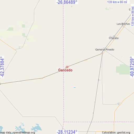
Gancedo GPS coordinates[2]
27° 29' 25.368" South, 61° 40' 32.556" West
| Map corner | latitude | longitude |
|---|---|---|
| Upper-left | -26.86489°, | -62.37884° |
| Center: | -27.49038°, | -61.67571° |
| Lower-right: | -28.11234°, | -60.97259° |
| Map W x H: | 138.7×138.7 km | = 86.2×86.2mi |
| max Lat: | -21.94467° ⇑19.3% North |
| Gancedo: | -27.49038° |
| min Lat: | ⇓80.7% South -54.81084° |
| min Long | Gancedo | max Long |
| -72.88605° | -61.67571° | -53.64581° |
| W 57.1%⇐ | ⇒42.9% E |
Elevation
Elevation of Gancedo is 105 m = 344 ft, and this is 244.3 m = 802 ft below average elevation for this country.
| Max E: |
4040 m = 13255 ft | 61% |
| Avg. | 349.3 m = 1146 ft | |
| Gancedo | 105 m = 344 ft | |
Min E: |
-2 m = -7 ft | 39% |
See also: Argentina elevation on elevation.city.
Geographical zone
Gancedo is located in South temperate zone (between Tropic of Capricorn and the Antarctic Circle). Distance of this Southern Tropic circle is 450.7 km =280.1 mi to North.| Distance of | km | miles | from Gancedo |
|---|---|---|---|
| Equator | 3056.6 | 1899.3 | to North |
| Tropic Capricorn | 450.7 | 280.1 | to North |
| Antarctic Circle | 4344.5 | 2699.5 | to South |
| South Pole | 6950.4 | 4318.8 | to South |


Nearby cities:
15 places around Gancedo: (largest is in red/bold)
• Campo Largo
112.6 km =70 mi,  47°
47°
• Charata
57.1 km =35.5 mi,  57°
57°
• Chorotis
54.5 km =33.9 mi,  150°
150°
• Coronel Du Graty
77.9 km =48.4 mi,  105°
105°
• Corzuela
91.9 km =57.1 mi, 49°
• Gato Colorado
76.2 km =47.3 mi,  140°
140°
• General Pinedo
43.3 km =26.9 mi, 63°
• Hermoso Campo
35.2 km =21.9 mi, 111°
• La Clotilde
107.3 km =66.7 mi,  68°
68°
• Las Breñas
73.7 km =45.8 mi, 52°
• Quimilí
75 km =46.6 mi,  256°
256°
• San Bernardo
97.7 km =60.7 mi,  76°
76°
• Santa Sylvina
65.3 km =40.6 mi,  125°
125°
• Tintina
114.2 km =71 mi,  296°
296°
• Villa Ángela
95.2 km =59.2 mi,  95°
95°
Sources, notices
• [Note1] Compared only with cities in Argentina existing in our database
• [Src1] Map data: © OpenStreetMap contributors (CC-BY-SA)
• [Src2] Other city data from geonames.org with taken over terms of usage.
• [Src3] Geographical zone / Annual Mean Temperature by Robert A. Rohde @ Wikipedia
