Charras geodata
Charras (Cordoba) is a populated place; located in Argentina in America/Argentina/Cordoba (GMT-3) time zone. With population of 1,001 people, there are 770 cities with bigger population in this country. Compared to other cities in Argentina, 62.2% of cities are located further ↑North; 61.6% of cities are located further →East and 70.4% of cities have lower elevation than Charras. Note1


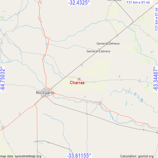
Charras GPS coordinates[2]
33° 1' 26.4" South, 64° 2' 49.884" West
| Map corner | latitude | longitude |
|---|---|---|
| Upper-left | -32.4325°, | -64.75032° |
| Center: | -33.024°, | -64.04719° |
| Lower-right: | -33.61155°, | -63.34407° |
| Map W x H: | 131.1×131.1 km | = 81.5×81.5mi |
| max Lat: | -21.94467° ⇑62.2% North |
| Charras: | -33.024° |
| min Lat: | ⇓37.8% South -54.81084° |
| min Long | Charras | max Long |
| -72.88605° | -64.04719° | -53.64581° |
| W 38.4%⇐ | ⇒61.6% E |
Elevation
Elevation of Charras is 350 m = 1148 ft, and this is 0.69999999999999 m = 2 ft above average elevation for this country.
| Max E: |
4040 m = 13255 ft | 29.6% |
| Charras | 350 m 1148 ft | |
| Avg. | 349.3 m = 1146 ft | |
Min E: |
-2 m = -7 ft | 70.4% |
See also: Argentina elevation on elevation.city.
Geographical zone
Charras is located in South temperate zone (between Tropic of Capricorn and the Antarctic Circle). Distance of this Southern Tropic circle is 1066 km =662.4 mi to North.| Distance of | km | miles | from Charras |
|---|---|---|---|
| Equator | 3671.9 | 2281.6 | to North |
| Tropic Capricorn | 1066 | 662.4 | to North |
| Antarctic Circle | 3729.2 | 2317.2 | to South |
| South Pole | 6335.1 | 3936.4 | to South |


Nearby cities:
15 places around Charras: (largest is in red/bold)
• Adelia María
67.6 km =42 mi,  177°
177°
• Alejandro Roca
47.7 km =29.6 mi,  140°
140°
• Carnerillo
12.5 km =7.8 mi,  10°
10°
• Coronel Baigorria
35.2 km =21.9 mi,  303°
303°
• Dalmacio Vélez Sársfield
63.4 km =39.4 mi,  43°
43°
• Elena
59.8 km =37.2 mi,  327°
327°
• General Cabrera
28.6 km =17.8 mi,  34°
34°
• Las Acequias
29.4 km =18.3 mi,  166°
166°
• Las Higueras
23.8 km =14.8 mi,  251°
251°
• Las Perdices
48.2 km =30 mi, 41°
• Río Cuarto
30.6 km =19 mi, 247°
• San Basilio
58.3 km =36.2 mi,  205°
205°
• Ticino
67.9 km =42.2 mi,  57°
57°
• Ucacha
50.4 km =31.3 mi,  91°
91°
• Villa Reducción
26.2 km =16.3 mi, 138°
Sources, notices
• [Note1] Compared only with cities in Argentina existing in our database
• [Src1] Map data: © OpenStreetMap contributors (CC-BY-SA)
• [Src2] Other city data from geonames.org with taken over terms of usage.
• [Src3] Geographical zone / Annual Mean Temperature by Robert A. Rohde @ Wikipedia
