Weyer geodata
Weyer (Upper Austria) is a seat of a third-order administrative division; located in Austria in Europe/Vienna (GMT+2) time zone. With population of 3,296 people, there are 332 cities with bigger population in this country. Compared to other cities in Austria, 59.2% of cities are located further ↓South; 50.8% of cities are located further →East and 57.2% of cities have higher elevation than Weyer. Note1
Administrative division(s):
- Level 1: Upper Austria
- Level 2: Politischer Bezirk Steyr-Land
- Level 3: Weyer


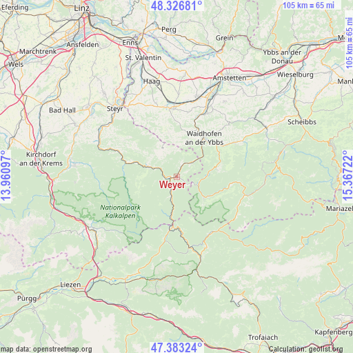
Weyer GPS coordinates[2]
47° 51' 25.812" North, 14° 39' 50.724" East
| Map corner | latitude | longitude |
|---|---|---|
| Upper-left | 48.32681°, | 13.96097° |
| Center: | 47.85717°, | 14.66409° |
| Lower-right: | 47.38324°, | 15.36722° |
| Map W x H: | 104.9×104.9 km | = 65.2×65.2mi |
| max Lat: | 48.98333° ⇑40.8% North |
| Weyer: | 47.85717° |
| min Lat: | ⇓59.2% South 46.48841° |
| min Long | Weyer | max Long |
| 9.57802° | 14.66409° | 17.1° |
| W 49.2%⇐ | ⇒50.8% E |
Elevation
Elevation of Weyer is 404 m = 1325 ft, and this is 101.5 m = 333 ft below average elevation for this country.
| Max E: |
2140 m = 7021 ft | 57.2% |
| Avg. | 505.5 m = 1658 ft | |
| Weyer | 404 m = 1325 ft | |
Min E: |
118 m = 387 ft | 42.8% |
See also: Austria elevation on elevation.city.
Geographical zone
Weyer is located in North temperate zone (between Tropic of Cancer and the Arctic Circle). Distance of this North polar circle is 2080 km =1292.5 mi to North.| Distance of | km | miles | from Weyer |
|---|---|---|---|
| North Pole | 4685.8 | 2911.6 | to North |
| Arctic Circle | 2080 | 1292.5 | to North |
| Tropic Cancer | 2715.3 | 1687.2 | to South |
| Equator | 5321.2 | 3306.4 | to South |


Nearby cities:
15 places around Weyer: (largest is in red/bold)
• Arzberg
14.1 km =8.8 mi,  287°
287°
• Ertl
13.5 km =8.4 mi,  349°
349°
• Gaflenz
6.2 km =3.9 mi,  47°
47°
• Grossraming
9 km =5.6 mi, 288°
• Hollenstein an der Ybbs
10.1 km =6.3 mi,  126°
126°
• Kleinreifling
5.1 km =3.2 mi,  207°
207°
• Konradsheim
11 km =6.8 mi,  20°
20°
• Lumplgraben
9.8 km =6.1 mi,  276°
276°
• Maria Neustift
9.7 km =6 mi,  330°
330°
• Opponitz
12.1 km =7.5 mi,  79°
79°
• Sankt Georgen in der Klaus
14.3 km =8.9 mi,  10°
10°
• Waidhofen an der Ybbs
14.1 km =8.8 mi,  35°
35°
• Wirts
11.2 km =7 mi, 41°
• Zell-Arzberg
14.3 km =8.9 mi, 42°
• Zell-Markt
14.4 km =8.9 mi, 38°
Sources, notices
• [Note1] Compared only with cities in Austria existing in our database
• [Src1] Map data: © OpenStreetMap contributors (CC-BY-SA)
• [Src2] Other city data from geonames.org with taken over terms of usage.
• [Src3] Geographical zone / Annual Mean Temperature by Robert A. Rohde @ Wikipedia
